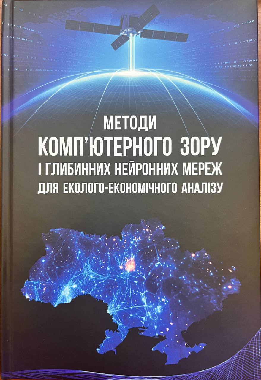
Kussul N.M., Shelestov A.Yu., Lavreniuk A.M., Yailymov B.Ya., Yailymova H.O., Kolotii A.V., Drozd S.Yu., Savin V.V., Mikava P.V., Kyrylenko I.A., Yavorskyi O.A., Okhrimenko A.O., Parkhomchuk O.M., Khar D.F., Volkova E.A.
K.: “Naukova Dumka” – 2024. – 474 p. (in Ukrainian).
ISBN: 978-966-00-1940-9
The monograph contains the results of research by the Department of Mathematical Modeling and Data Analysis of the National Technical University of Ukraine “Igor Sikorsky Kyiv Polytechnic Institute” for solving problems of ecological and economic analysis based on modern methods of computer vision and deep learning. It is based on the results of national and international projects of the Ministry of Education and Science of Ukraine, the National Research Foundation of Ukraine and Horizon Europe.
The proposed methodology is being implemented in the Ministry of Agrarian Policy and Food of Ukraine, the State Statistics Service, and the State Geocadastre. At the international level, the results are used by the EBRD, the JRC-EC center, the UN-SPIDER platform, and the NASA Harvest program on the use of satellite data for agricultural monitoring. The monograph is Ukraine’s contribution to the EuroGEO program on the integration of European practices to support decision-making. The results presented are the basis for the development of innovative projects and startups in satellite monitoring, ecology, agriculture, and natural resource management.
The monograph will be useful for scientists involved in the development and implementation of intelligent models, specialists in geospatial analysis, representatives of state authorities and international organizations responsible for natural resource management and environmental monitoring. It will become a valuable resource for students, graduate students, and teachers of technical and natural sciences.
Prepared for publication with the support of the Ministry of Education and Science of Ukraine within the framework of the competitive project “Information technologies of geospatial analysis of the development of rural areas and communities” No. RN/27-2023 of 25.2023 of the European Union’s external assistance instrument program.
Link>>> (Complete edition)
List of Chapters and Sections:
Chapter 1. Analysis of the current state of computer vision methods and deep neural networks for environmental and economic analysis
Kussul N., Kuzin V., Shelestov A., pp. 11-48
Savin V., pp. 49-81
Mikava P., pp. 82-126
Chapter 2. Computer vision and deep neural network methods for satellite intelligence
Okhrimenko A., pp. 127-142
Okhrimenko A., pp. 143-171
Yavorskyi O., Khar D., pp. 172-191
Lavreniuk A., pp. 216-241
Chapter 3. Applied problems of satellite intelligence on multimodal data
Drozd S., pp. 242-268
Volkova E., pp. 269-331
Kussul N., Shelestov A., Yailymov B., Yailymova H., Kolotii A., Parkhomchuk O., pp. 332-379
Богдан Яйлимов, pp. 380-402
Chapter 4. Modern information technologies for computer vision and deep neural networks
Shelestov A., pp. 403-416
Kolotii A., pp. 417-465
