Project “Information technologies of geospatial analysis of the development of rural areas and communities”

Name: Information technologies of geospatial analysis of the development of rural areas and communities.
Duration: 2023-2024

The project is financed by the external aid instrument of the European Union for the fulfillment of Ukraine’s obligations in the European Union Framework Program for Scientific Research and Innovation “Horizon 2020”

Project manager: Doctor of Science, Professor of the Department of MMAD Shelestov A.Yu.… Continue reading

The NASA Space App Challenge global hackathon took place

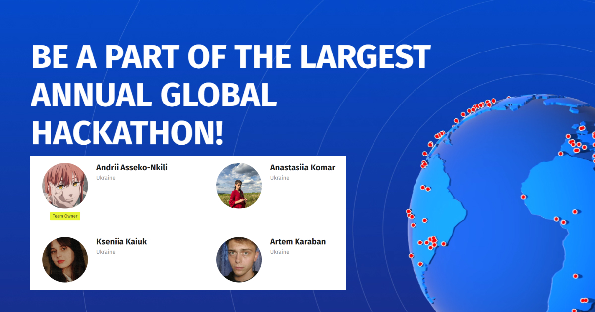
On October 7-8, the NASA Space App Challenge hackathon took place, where the masters of our department and the team of the Applied Mathematics Club took part.

Their team «Fireflies Squad» chose the challenge «Managing Fire: Increasing Community-based Fire Management Opportunity» and used machine learning and NASA satellite data to model the speed of fire spread and quickly inform and prevent large losses.… Continue reading

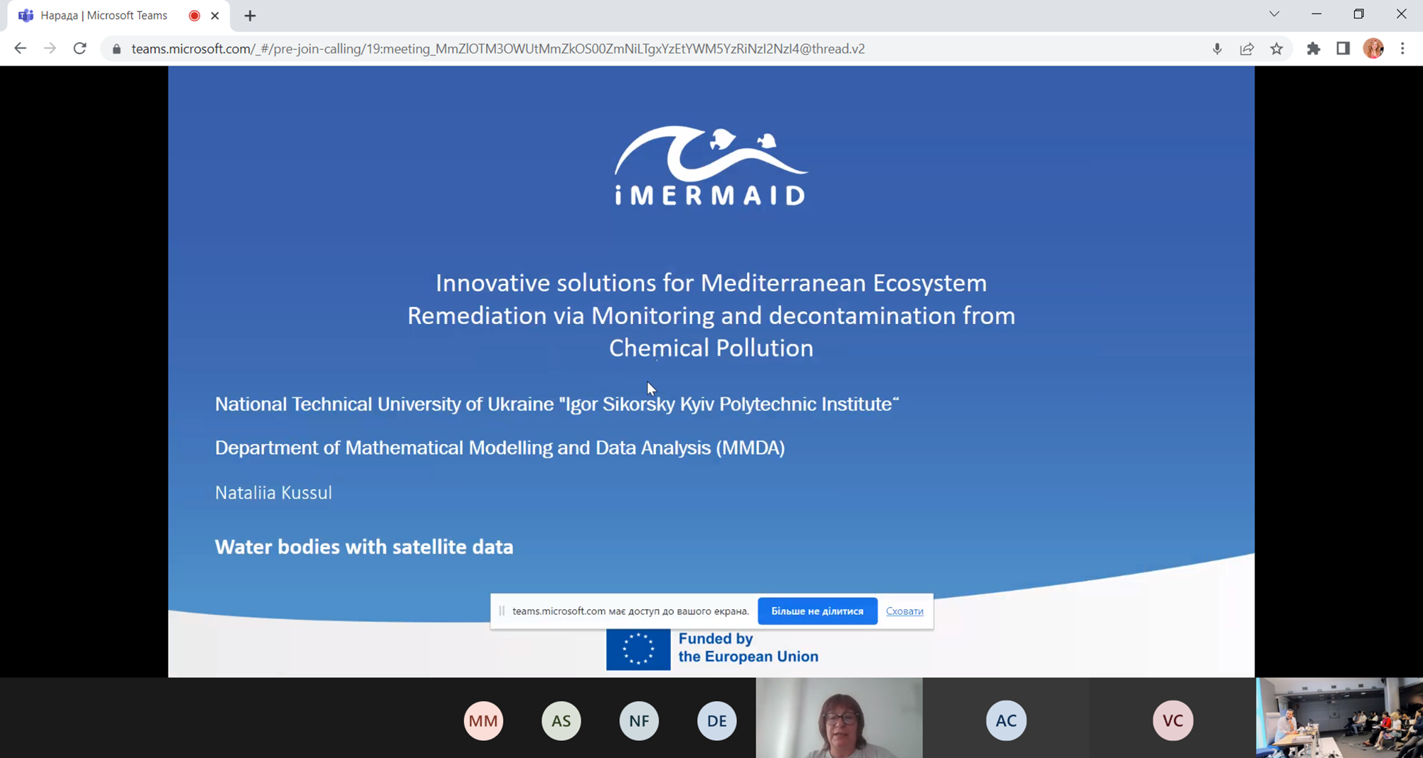
Start of the project «Innovative solutions for the restoration of the Mediterranean ecosystem through monitoring and decontamination from chemical pollution»

On June 1, a new project «Innovative solutions for the restoration of the Mediterranean ecosystem through monitoring and decontamination from chemical pollution» was launched, the participants of which are the team of our department.

Due to various external factors, the Mediterranean basin is very vulnerable to chemical accumulation and pollution.… Continue reading

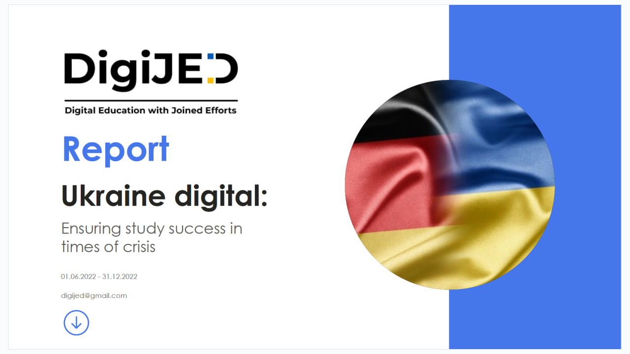
Results of the German-Ukrainian DAAD project “DigiJED-​2: Digital Education with Joined Efforts” 2022 and development in 2023

The main goal of the DijiJED educational project is to support the educational process at Ukrainian universities under martial law. The project envisages the creation of a concept of collaborative digital learning in the field of information and communication technologies.

The educational project involves students of the 3-4th year of bachelor’s and 1st year of master’s degree, as well as Ukrainian teachers, some of whom already work at the Anhalt University of Applied Sciences or teach from Ukraine, as well as teachers from Germany and North Macedonia.… Continue reading

Results of the German-Ukrainian DAAD project “DigiJED: digital education through joint efforts” 2022 and development in 2023

The main goal of the DijiJED educational project is to support the educational process in Ukrainian universities under martial law. The project envisages the creation of a concept of joint digital learning in the field of information and communication technologies. Students of 3-4 years of bachelor’s degree and 1 year of master’s degree, as well as Ukrainian teachers, some of whom already work at the Anhalt University of Applied Sciences, or who teach from Ukraine, as well as teachers from Germany and North Macedonia, participate in the educational project.… Continue reading

The “Fundamentals of Space Activities” educational course

On 15. 09. 2022 an open online presentation of the educational course “Fundamentals of Space Activities” initiated by the COSMOS Association took place. The course is aimed at a wide range of specialists (researchers, engineers, managers, postgraduates, students) who are interested in obtaining basic knowledge of current problems of space activities, priorities of international programmes for research and use of outer space.… Continue reading

Project “Satellites for Wilderness Inspection and Forest Threat Tracking” – SWIFTT

ACRONYM: SWIFTT
Title : “Satellites for Wilderness Inspection and Forest Threat Tracking”
Instrument (Call): HORIZON-EUSPA-2021-SPACE-02-51, “EGNSS and Copernicus applications fostering the European Green deal”
9 participants, Organizations from France, Italy, Belgium, Germany, Latvia
Duration: 3 years (2023 – 2025)


Abstract: Forests are essential to life on Earth.… Continue reading

Geospatial models and information technologies of satellite monitoring of smart city problems

Project within NRFU Competition “Leading and Young Scientists Research Support”

The project duration: 2020 – 2022

Supervisor: prof. Andrii Shelestov

Project abstract

Digital technologies for the ecological state monitoring and city development have become important for society and various stakeholders. Thanks to the emergence of new sources of open data, there are opportunities to develop and implement services that are already used in the European Union (EU) and European cities.… Continue reading

Intelligent models and methods for determining land degradation indicators based on satellite data

Project within the NRFU competition “Science for the safety of human and society”

Project duration: 2020-2021

Supervisor: prof. Andrii Shelestov

Project abstract

The problem of land degradation is relevant today. Many signs of land degradation, such as declining crop yields, deforestation identification or uncultivated land cultivation, can be tracked using satellite data, in particular vegetation indices.… Continue reading