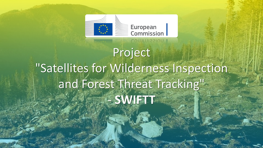
ACRONYM: SWIFTT
Title : “Satellites for Wilderness Inspection and Forest Threat Tracking”
Instrument (Call): HORIZON-EUSPA-2021-SPACE-02-51, “EGNSS and Copernicus applications fostering the European Green deal”
9 participants, Organizations from France, Italy, Belgium, Germany, Latvia
Duration: 3 years (2023 – 2025)
Abstract: Forests are essential to life on Earth. They provide habitats for thousands of creatures and combat climate change through carbon sequestration. However, our forests are threatened by insect outbreaks, fires, windthrow and droughts. Notably, insect outbreaks are one of the leading causes of forest loss globally, destroying 85M ha of forest worth €15B annually. At the same time, wildfires destroy 400M ha annually on a global scale, according to the European Space Agency. The wind is also a significant forest disturbance agent and a vital component of the dynamics of temperate forests, found in most of western, northern and central Europe, including France, Germany and most Eastern European countries.
Climate change affects forests, causing insects to breed more frequently and providing more dry fuel for global wildfires. In addition, both the frequency and the severity of large storms causing windthrow can be attributed to climate change. This increases the frequency of insect outbreaks, the length of the fire season and the size of areas affected by fire. Countless habitats are lost, and CO2 sequestered yearly decreases by over 4850M tons.
Our solution, SWIFTT, will provide a scientifically sound and technically feasible way to help monitor and manage forest risks: windthrow, insect outbreaks, and forest fires. SWIFTT will enable forest managers to adapt to climate change with affordable, simple and effective remote sensing tools backed up by powerful machine learning models. Our solution will offer a monthly health monitoring service using Copernicus satellite imagery to detect and map the various risks to which forests and their managers are exposed. Early threat detection aids timely intervention. SWIFTT will be tested in real conditions by several end-users from the forest industry, which include Fürstliches Forstamt, Groupe Coopération Forestière and the Rigas Mezia. We anticipate monitoring and protecting up to 130M ha of global forests by 2030, saving foresters over €468M in monitoring costs and creating XXX direct jobs.
Publications
- Kussul, A. Shelestov, B. Yailymov, H. Yailymova, Semi-Supervised Forest Type Mapping in Europe on Satellite Data, 2023 IDAACS, vol. 1, (2023) pp. 454-458. https://doi.org/10.1109/IDAACS58523.2023.10348948
- Salii, V. Kuzin, A. Hohol, N. Kussul, H. Yailymova, Machine learning models and technology for classification of forest on satellite data. In IEEE EUROCON 2023-20th International Conference on Smart Technologies (2023), pp. 93-98. https://doi.org/10.1109/EUROCON56442.2023.10199006
- Shelestov, Y. Salii, N. Hordiiko, H. Yailymova Current Advances on Cloud-Based Distributed Computing for Forest Monitoring in Ukraine. Lecture Notes in Networks and Systems, Springer, (2023), pp. 322–336. https://doi.org/10.1007/978-3-031-46880-3_20.
- Shumilo, S. Skakun, M. L. Gore, A. Shelestov, N. Kussul, G. Hurtt, D. Karabchuk, V. Yarotskiy, Conservation policies and management in the Ukrainian Emerald Network have maintained reforestation rate despite the war. Communication Earth and Environment, Nature, 4, 443 (2023). https://doi.org/10.1038/s43247-023-01099-4.
- Yailymov, H. Yailymova, A. Shelestov, L. Shumilo, Monitoring of Fires Caused by War in Ukraine Based on Satellite Data. 13th International Conference Dependable Systems, Services and Technologies (DESSERT 2023), Greece, Athens, October 13-15, (2023). pp. 1-5, doi: 10.1109/DESSERT61349.2023.10416520.
- B. Yailymov, A. Shelestov, H. Yailymova, L. Shumilo, Google Earth Engine framework for satellite data-driven wildfire monitoring in Ukraine. Fire, 6(11), (2023), 411. https://doi.org/10.3390/fire6110411
- B. Yailymov, H. Yailymova, N. Kussul, A. Shelestov European-wide High-fidelity Forest Type Maps. International symposium on applied geoinformatics (2024), 9-10 May, Wroclaw, Poland. p. 48. Link>>>
- H. Yailymova, B. Yailymov, Y. Salii, V. Kuzin, A. Odruzhenko, S. Sydorenko, A. Shelestov, N. Kussul, A multimodal dataset for forest damage detection and machine learning. Proceedings of 2024 IEEE International Geoscience and Remote Sensing Symposium, 7 – 12 July, (2024), Athens, Greece. pp. 2949 – 2953. DOI: 10.1109/IGARSS53475.2024.10641873. Link>>>
- Salii, V. Kuzin, A. Lavreniuk, N. Kussul, Features’ Selection for Forest State Classification Using Machine Learning on Satellite Data. Proceedings of 2024 IEEE International Geoscience and Remote Sensing Symposium, 7 – 12 July, (2024), Athens, Greece. pp. 9874 – 9878. DOI: 10.1109/IGARSS53475.2024.10642681. Link>>>
- Salii, V. Kuzin, N. Kussul, A. Lavreniuk, Optimized Feature Engineering for Semantic Segmentation of Satellite Imagery. Computers and Geosciences (under review) (2024)
- Yevhenii Salii, Alla Lavreniuk, Nataliia Kussul Statistical methods of feature engineering for the problem of forest state classification using satellite data. System research and information technologies, 2024, №1, pp. 86-98. https://doi.org/10.20535/SRIT.2308-8893.2024.1.07. Link>>>
- Bohdan Yailymov, Hanna Yailymova, Nataliia Kussul and Andrii Shelestov Semi-supervised European forest types mapping using high-fidelity satellite data. 4th International Workshop of IT-professionals on Artificial Intelligence (ProfIT AI 2024), 25-27.09.2024 Link>>>
- A. Shelestov, N. Kussul, Y. Salii, B. Yailymov, H. Yailymova, V. Kuzin, O. Parkhomchuk Semantic segmentation of forest diseases: feature engineering and dataset creation. EuroGEO WORKSHOP 2024, 8-10 October 2024 (presented)
- Bohdan Yailymov, Hanna Yailymova, Volodymyr Kuzin, Yevhenii Salii, Oleksandr Parkhomchuk, Andrii Shelestov. Assessment of the Forest Cover Changes in Ukraine as an Impact of Military Aggression. Living Planet Symposium, 23—27 June 2025, Vienna, Austria. Link>>>