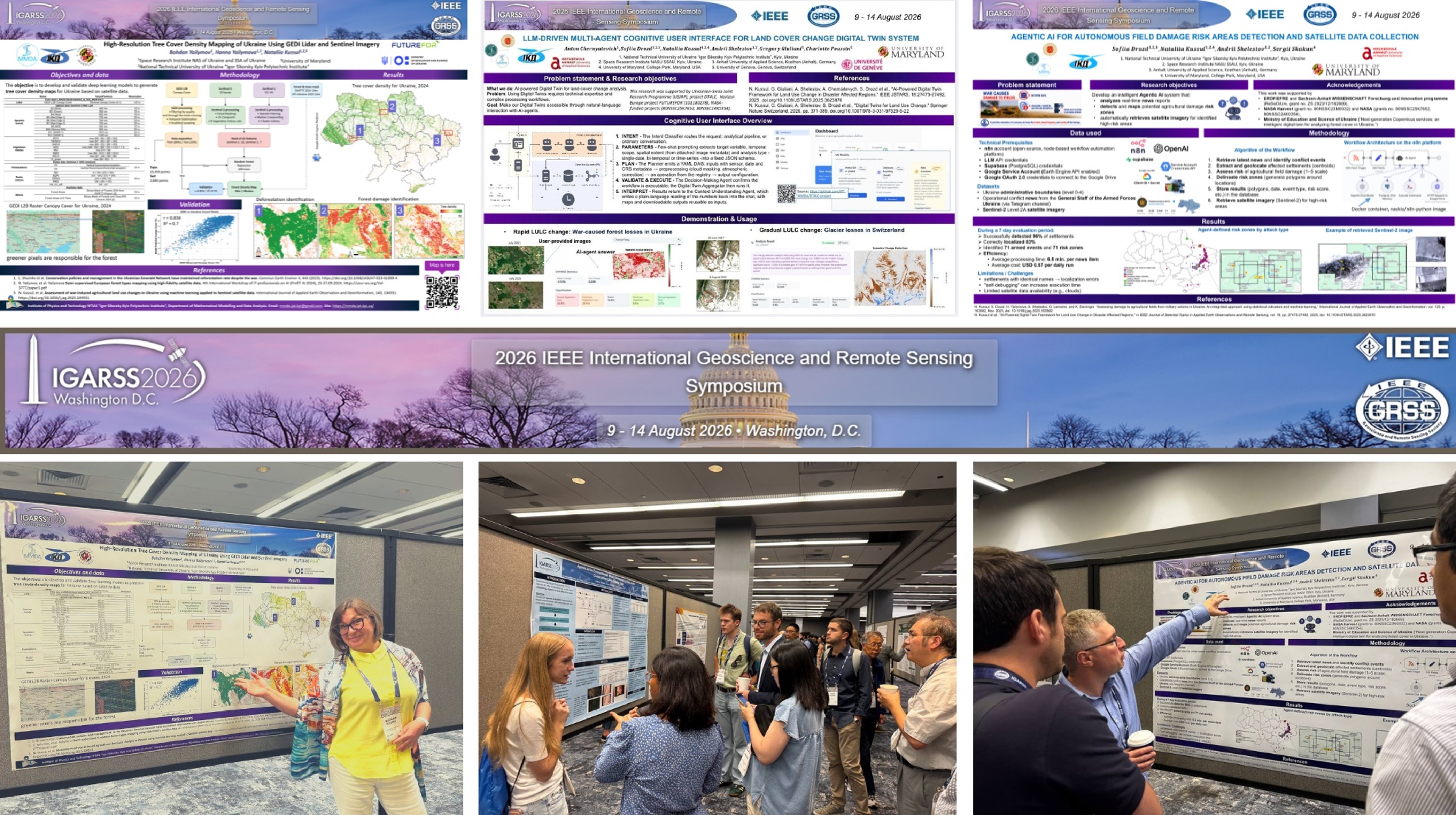
Professor from our MMDA Department at the ER IPT —Nataliia Kussul and Leonid Shumilo (a Master’s program alumnus and newly minted PhD)—presented four of our research papers at the 2026 IEEE International Geoscience and Remote Sensing Symposium, held in Washington, USA, on August 9–14, 2026.
Presented papers:
- “LLM-driven multi-agent cognitive user interface for land cover change digital twin system” (authors: Anton Chernyatevich, Sofiia Drozd, Nataliia Kussul, Andrii Shelestov, Gregory Giuliani, Charlotte Poussin), carried out within the framework of the Ukrainian-Swiss project “DT4LC – Developing Scalable Digital Twin Models for Land Cover Change Detection Using Machine Learning” (grant 2023.01/0040). The study demonstrates how AI agents based on Large Language Models (LLMs) can make complex Earth observation and land cover change analysis processes accessible through natural language interaction. The system was tested on two distinct land cover change scenarios: forest loss in Ukraine due to the war and glacier melting in Switzerland. The multi-agent interface supports the entire analytical process—from understanding the user’s query and configuring remote sensing data processing parameters to executing the analysis and interpreting the resulting maps and statistical data.
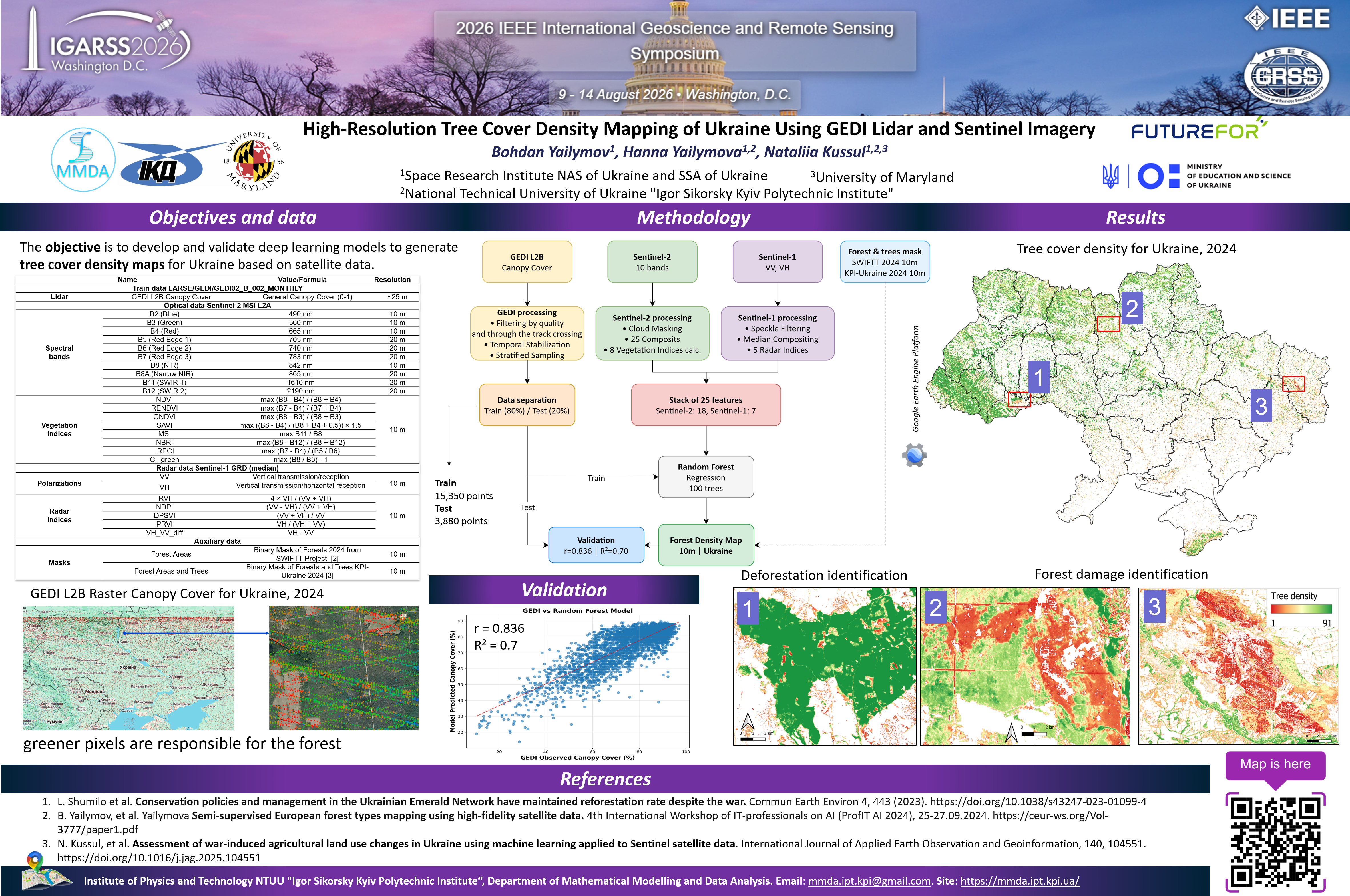
- “High-Resolution Tree Cover Density Mapping of Ukraine Using GEDI Lidar and Sentinel Imagery” (authors: Bohdan Yailymov, Hanna Yailymova, Nataliia Kussul), conducted within the framework of the Horizon Europe FUTUREFOR project (No. 101180278, “Copernicus Applications for Next-Generation Forest Monitoring”) and the Ministry of Education and Science of Ukraine project “Next-Generation Copernicus Services: Intelligent Digital Twin for Forest Cover Analysis in Ukraine.” The work focuses on creating a tree cover density map of Ukraine with 10-meter spatial resolution by integrating GEDI lidar observation data with Sentinel-1 and Sentinel-2 satellite data using a machine learning model. This approach provides detailed information on forest density and can facilitate the detection and assessment of deforestation and forest damage—factors of particular importance for monitoring Ukrainian forests under current conditions.
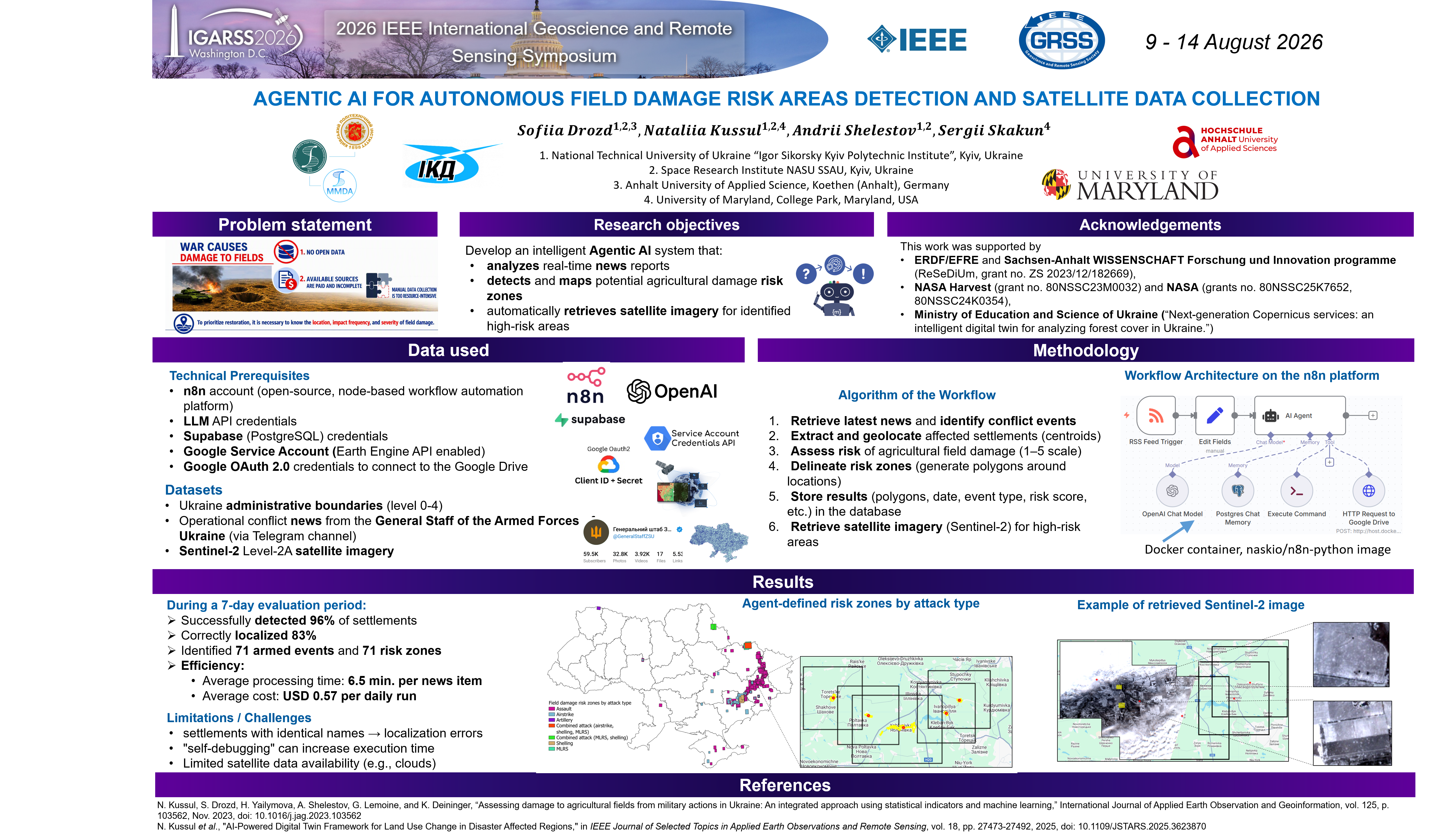
- “Agentic AI for autonomous field damage risk areas detection and satellite data collection” (authors: Sofiia Drozd, Nataliia Kussul, Sergii Skakun), conducted under the NASA Harvest projects (grant no. 80NSSC23M0032) and “Assessment of the Impact of War in Ukraine on National Protected Areas” (grant no. 80NSSC25K7652). This paper presents an AI agent system that automatically analyzes operational reports from the General Staff of the Armed Forces of Ukraine, identifies settlements where combat operations took place, assesses the likelihood of damage to agricultural fields, generates risk zone polygons, and autonomously retrieves Sentinel-2 imagery for them via Google Earth Engine.
- “Agentic AI for environmental impact assessment of construction projects using satellite data” (authors: Daryna Skakun, Artem Shelestov, Sofiia Drozd).