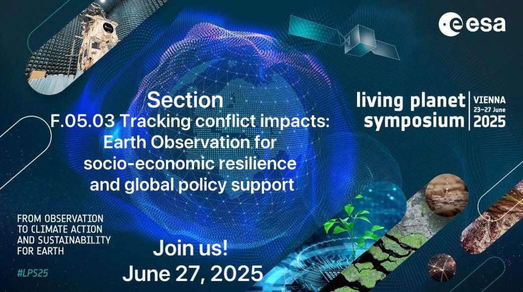
The Horizon Europe “U_CAN” project was presented at EuroGEO 2024

During EuroGEO 2024, the Horizon Europe project “U_CAN” — “Associating Ukrainian Cities to the Climate Neutral and Smart Cities Missions” was presented, which is carried out by the MMAD department in cooperation with Ukrainian and international partners.

Our contribution to the project includes:
• Monitoring the effectiveness of land use in Ukraine for the optimal location of wind and solar power plants.… Continue reading

Ukraine initiated the creation of a national EuroGEO office

At the EuroGEO Workshop 2024, which took place on October 8-10 in Krakow, the creation of a national EuroGEO office in Ukraine was officially announced!

Representatives of the State Space Agency of Ukraine, together with scientists from the Department of MMDA of IPT and the Institute of Space Research of NASU and DCAU presented this initiative at the special section “Ukraine and EuroGEO”.… Continue reading

The MMDA department organized a section at the 14th International Conference Dependable Systems, Services and Technologies (DESSERT) 2024

The Department of MMDA organized the section “Earth Intelligence for Safe and Resilient Recovery of Ukraine” at the 14th International Conference Dependable Systems, Services and Technologies (DESSERT) 2024, which was held on October 11-13. At the conference:

Associate Professor Hanna Yalymova presented works on changes in methane concentration, restoration of agriculture and analysis of soil moisture based on satellite data, carried out within the framework of the projects of NFSU and MES.… Continue reading

Students of the MMDA department took part in the 2024 IEEE Fourth International Conference on SAIC

On October 8-10, 2024, graduate students and masters of the MMAD department took part in the 2024 IEEE Fourth International Conference on System Analysis & Intelligent Computing (SAIC) and presented their scientific achievements.

Anton Okhrimenko (4th year graduate student) presented a paper on solving the problem of unbalanced data sets in the segmentation of satellite images.… Continue reading

The map of forests within the SWIFTT project was presented at ProfIT AI 2024

Associate Professor of the Department of MMDA Hanna Yailymova took part in the 4th International Workshop of IT-professionals on Artificial Intelligence (ProfIT AI 2024), which took place on September 25-27, 2024. In her report, she presented the results of research conducted within the framework of the international project of the European program Horizon Europe SWIFTT, in particular, she demonstrated a forest map created with the help of satellite data and artificial intelligence methods.… Continue reading

The results of research within the NRFU project on ECML PKDD 2024 are presented

From September 9 to 13, the results of a study conducted by employees and students of the MMDA department under the leadership of Professor Natalia Kussul on the topic “Optimizing War Damage Detection in Agricultural Lands Using Regression Models and Satellite Imagery” were presented at the flagship European conference ECML PKDD 2024 (European Conference on Machine Learning and Principles and Practice of Knowledge Discovery in Databases), held in Vilnius, Lithuania.… Continue reading

An open guest lecture by a world-class specialist

We invite everyone to an open guest lecture by a world-class specialist!

Topic: Using R tools to work with the Global Change Analysis Model (GCAM)

👨‍💻Lecturer: Nazar Kholod –
Doctor of technical sciences in the field of economics at Ivan Franko Lviv National University
Master’s degree in public policy at the University of Maryland, senior researcher at the Pacific Northwest National Laboratory of the US Department of Energy
✅national coordinator of the Net Zero World project in Ukraine
✅Worked for 12 years at the Joint Institute for the Study of Global Change in cooperation with the University of Maryland.… Continue reading

The first publication within the U_CAN project

The team of the MMDA department is pleased to announce the publication of its first paper “Solar energy potential mapping in Ukraine through integration of GIS, remote sensing, and fuzzy logic” within the framework of the U_CAN project in the European Journal of Remote Sensing (IF 3.7).… Continue reading