
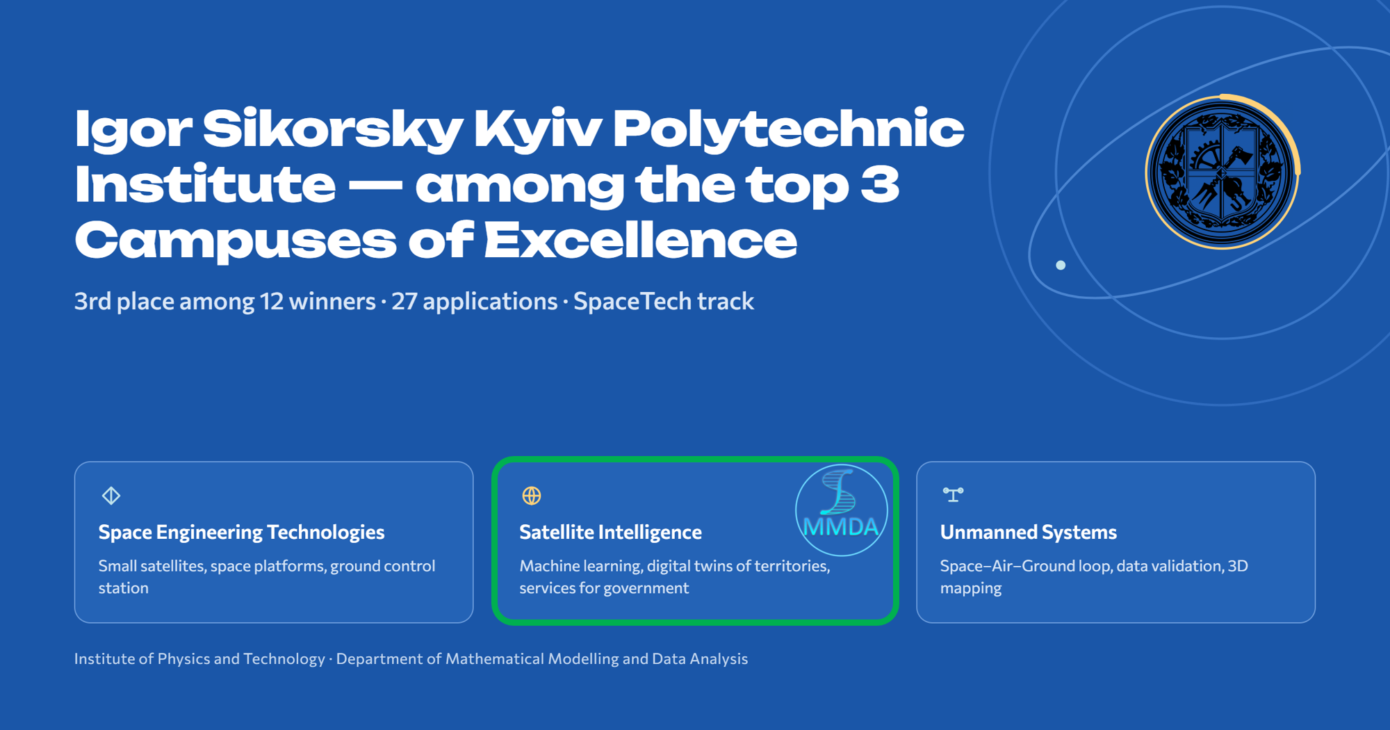
On December 12, 2025, the Ministry of Education and Science of Ukraine announced the launch of the CampeX project (“Support for Centers of Excellence”) and invited higher education institutions to express interest in participating in the competitive selection of investment proposals for the creation and development of centers of excellence. This initiative is part of the UIHERP investment project (“Ukraine Improving Higher Education for Results”), implemented jointly with the International Bank for Reconstruction and Development. Detailed information regarding the competitive selection process is available at the link.
The plan was to select up to 10 investment proposals from higher education institutions representing various regions of Ukraine for funding under the “Support for Centers of Excellence” component.
The selection results—identifying the 12 universities chosen to implement the CampeX centers of excellence project—have been published online. Among them, Igor Sikorsky Kyiv Polytechnic Institute (KPI) was selected as the top institution in the SpaceTech category for its “Innovation and Education Center for Space Technologies” center of excellence.
The KPI CampeX “Innovation and Education Center for Space Technologies” has established a complete technological cycle—ranging from satellite development to the delivery of analysis results to potential users and the facilitation of management decision-making.
CampeX comprises three key areas:
- Space Engineering Technologies: space platforms, engineering infrastructure, small satellite technologies, ground control stations, and spacecraft design and testing;
- Unmanned systems — unmanned aerial systems (UAS), satellite data validation using UAVs, Space–Air–Ground integration, photogrammetry and 3D mapping, multi-sensor aerial platforms.
- Satellite intelligence — ML/DL analysis of satellite imagery, digital twins of territories, ecosystem change forecasting, geospatial big data, digital services for government agencies. This area is being developed by the Department of Mathematical Modeling and Data Analysis (MMDA) at the Educational and Research Institute of Physics and Technology, Igor Sikorsky Kyiv Polytechnic Institute.
The MMDA Department’s satellite intelligence direction relies on ongoing international and national projects carried out jointly with the Space Research Institute (NAS of Ukraine and SSA of Ukraine) and the University of Maryland:
- World Bank and JRC projects on the annual creation of crop classification maps for Ukraine;
- SWIFTT (Horizon Europe, 2023–2025) — “Satellites for Wilderness Inspection and Forest Threat Tracking”: satellite services for monitoring forest threats;
- FUTUREFOR (Horizon Europe, 2024–2027) — “Copernicus Applications for Next-Generation Forest Monitoring”: next-generation forest monitoring using Copernicus data;
- iMERMAID (Horizon Europe) — machine learning models for assessing marine water quality: monitoring oil spills and chlorophyll-a concentrations using satellite data;
- U_CAN (Horizon Europe) — AI and Earth Intelligence to support the transition of Ukrainian cities and communities toward climate neutrality;
- e-shape (Horizon 2020, EuroGEO Showcases) — a methodology for calculating Sustainable Development Goal (SDG) indicators, implemented on the CREODIAS cloud platform, a key element of the European space ecosystem;
- DT4LC (a Ukrainian-Swiss project funded by the NRFU) — a scalable digital twin for detecting land cover changes, combining satellite data, deep neural networks, and PINNs based on Open Data Cube technologies. This development has been recognized by UN-SPIDER as a GeoAI best practice;
- NRFU and MES projects focused on deep learning for satellite monitoring and damage assessment in natural ecosystems.
The developed technologies are already being utilized in public administration. Specifically, land cover and crop maps—created by the department using satellite Earth observations and AI algorithms—have been used in the State Agrarian Registry since 2022. Currently, the integration of satellite-derived statistics into the State Statistics Service of Ukraine is underway as part of the SEN4STATUkr project, supported by the European Space Agency (ESA).
The department’s outputs are also utilized by the European Commission’s Joint Research Centre (JRC); notably, land cover classification maps have been included in official MARS Bulletins since 2024.