Since the first satellite of Landsat series was launched over 50 years ago land-change science has been rapidly developing to answer the questions on where changes are occurring, what is their extent and over what time scale, what are their causes, their consequences for ecosystems and human societies, their feedback with climate change, and what changes are expected in the future. Much effort has been invested in developing multi-sensor, multi-spectral methods to increase the spatiotemporal coverage and to advance the virtual constellation paradigm for moderate spatial resolution (10-60m) land imaging systems. The use of commercial satellite very high (meter) resolution is accelerating with more data becoming available. The NASA Land-Cover/Land-Use Change (LCLUC) Program is developing interdisciplinary approaches combining aspects of physical, social, and economic sciences, with a high level of societal relevance, using remote sensing tools, methods, and data. The Program aims at developing the capability for annual satellite-based inventories to monitor changes at the Earth’s surface to improve our understanding of LCLUC as an essential component of the Earth System. This lecture will provide an overview of the available sources of information from space obtained from various satellite missions including those which are planned for the very near future. It will describe the synergistic use of multi-source land imaging data including those from the instruments on the International Space Station, and using examples from forests, agriculture, and urban sectors.
LCLUC Program, NASA Headquarters, Washington, DC
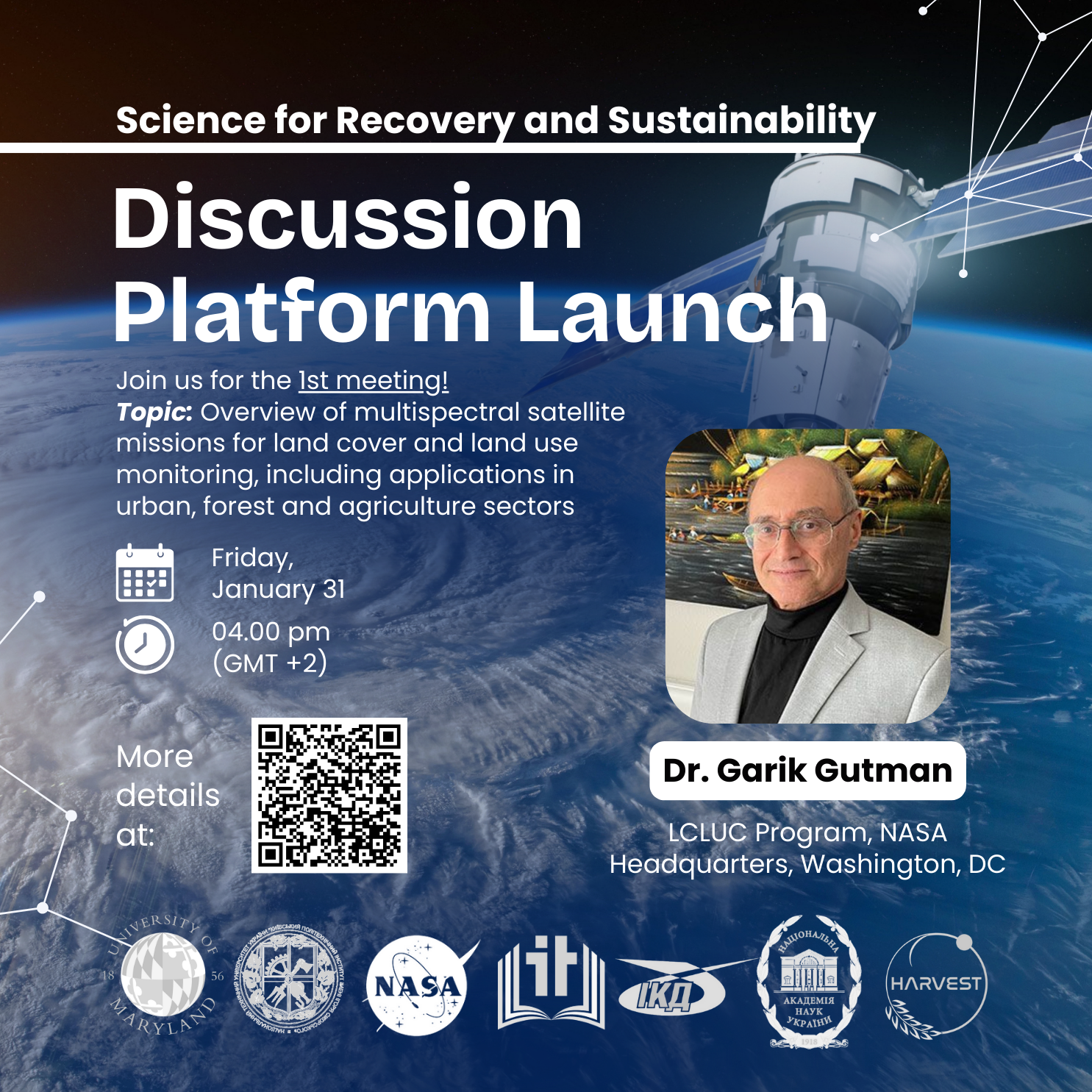
Overview of multispectral satellite missions for land cover and land use monitoring, including applications in urban, forest, and agricultural sectors.
31.01.2025
4:00 PM (GMT +2)
During thе first session, together with Dr. Garik Gutman, the NASA LCLUC Program Manager, we explored existing multispectral satellite missions for monitoring land cover and land use to study urbanization, forest monitoring, and agricultural dynamics. Through active discussions, we collectively assessed future plans and prospects for utilizing NASA satellite missions, particularly for Ukraine’s post-war recovery.
The platform brought together a total of 119 participants, including 50 students, from leading universities in Ukraine (72 from Kyiv, 5 from Melitopol, and 19 from Dnipro, Vinnytsia, Kremenchuk, Sumy, Zaporizhzhia, Mykolaiv, Odesa, Poltava, Kharkiv, Khmelnytskyi, and Lviv), along with international researchers from the USA (15 from Maryland and 4 from Worcester, South Dakota, and Richland), as well as 4 participants from the UK, Germany, Colombia, and Bangladesh.
We express our deep gratitude to all participants for their active engagement in discussing crucial topics and sincerely appreciate the successful launch of the platform by our co-organizers – Igor Sikorsky Kyiv Polytechnic Institute and the University of Maryland. We also extend our thanks to NASA, the National Academy of Sciences of Ukraine, and the Ministry of Education and Science of Ukraine for their support.