The crop type map of Ukraine used in the JRC report

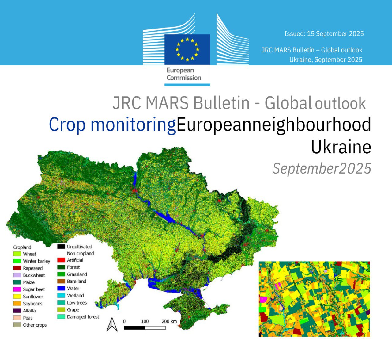
The crop type map of Ukraine, created by the team of the Department of Mathematical Modeling and Data Analysis of the ER IPT, have been successfully used in the annual bulletin Crop Monitoring in Europe and the Mediterranean, which is prepared by the Joint Research Center of the European Commission (JRC) to assess yields at the regional level.… Continue reading

The digital twin of Ukrainian territories is among the best practices of GeoAI!

The development of the MMDA ER IPT together with the Space Research Institute of the NASU within the framework of the Ukrainian-Swiss scientific project of the NRFU “DT4LC: Developing Scalable Digital Twin Models for Land Cover Change Detection Using Machine Learning” has been recognized as one of the best practices of GeoAI according to the UN-SPIDER version (https://www.un-spider.org/about/MappingDisasterResilience)… Continue reading