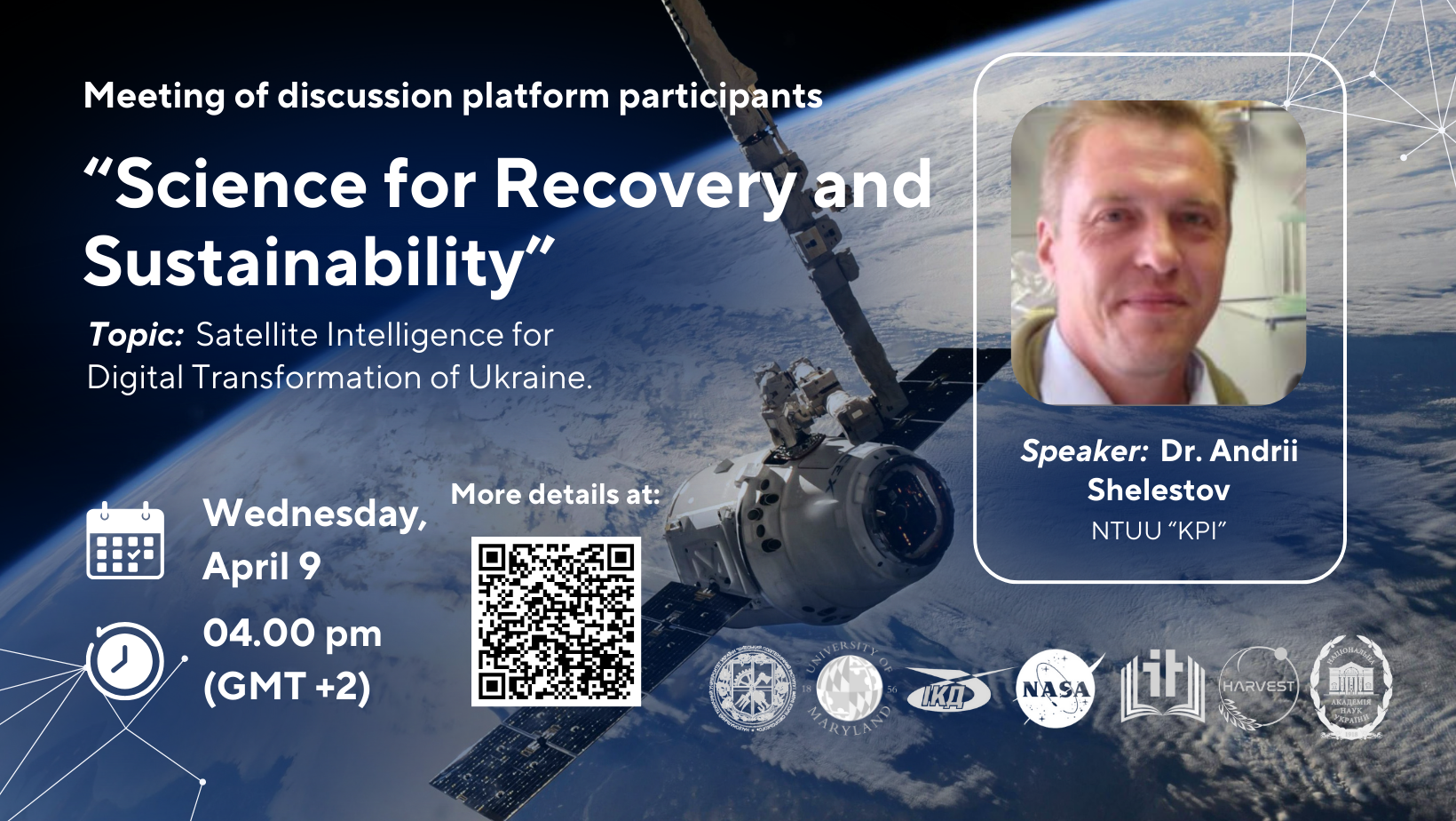
This talk will explore the practical application of satellite intelligence to support public sector decision-making in Ukraine. In particular, it will highlight the long-term collaboration with the Joint Research Centre (JRC) and the World Bank on the development of crop maps for Ukraine, which have been integrated into the State Agrarian Registry since 2022. The presentation will also include results from the pilot project on establishing a Land Parcel Identification System (LPIS), a key step toward aligning Ukraine’s agricultural management systems with EU standards.
Special attention will be given to our involvement in Horizon Europe projects focused on developing innovative satellite intelligence technologies for government applications (govtech/govdev), particularly in the areas of forest monitoring, land use, and renewable energy. In this context, the talk will also discuss the development of digital twins for land use as a modern tool for planning and sustainable resource management in line with European practices.
Satellite Intelligence for Digital Transformation of Ukraine.
During the meeting, the Ukrainian team’s long-term cooperation with the Joint Research Center and the World Bank to create annual land cover classification maps for Ukraine was discussed. The team of the MMDA department carries out a full cycle of work – from collecting ground data to training machine learning models, satellite monitoring of agricultural crops, including occupied territories, and assessing changes in sown areas in different regions of Ukraine. The pilot project of the Land Parcel Identification System (LPIS) on delimiting field contours with the support of the World Bank and the European SWIFTT project on building a map of European forests were also presented. Additionally, work was presented on assessing the potential for placing solar and wind power plants in Ukraine based on multi-criteria analysis of land suitability. The last direction is a project between KPI and the University of Geneva on the development of digital twins for assessing land cover changes, which involves the use of fundamental models and cloud computing. During the discussion, issues were raised regarding the classification of data from occupied territories, the accuracy of determining small agricultural plots, as well as potential cooperation with the State Statistics Service of Ukraine.


