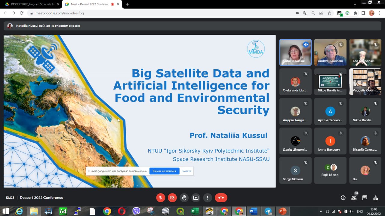
In December 9-11, teachers and students presented the results of their research at the international scientific conference DESSERT’2022 (12th International IEEE Conference Dependable Systems, Services and Technologies).
Head of the Department Nataliia Kussul spoke on the topic “Big Satellite Data and Artificial Intelligence for Food and Environmental Security” at the plenary section “Big Data and Big Safety”, where she highlighted the importance of using artificial intelligence to satellite data for monitoring land cover for the state’s economy, especially during the war, when it is not possible to obtain information from the occupied territories.
Within the special section “Big Geospatial Data on the Way to Ukraine’s Security and European Integration”, headed by Professor Andrii Shelestov and Professor of the University of Maryland Sergii Skakun, students and lecturers of the Department presented their reports.
The special session was devoted to modern methods and technologies of food and environmental security assessment based on satellite and geospatial data, including assessment of war damage.
Volodymyr Kuzin, 4th year student of the FI-91 group, member of the applied mathematics group, presented the report “EO4UA initiative: scientific European Support of Ukrainian scientific community”, where he highlighted the technical side of the work within the EO4UA initiative. In particular, the possibility of accessing satellite data and working with them in the CREODIAS cloud platform of CloudFerro.
The 4th year undergraduate student Sofia Drozd made a presentation on “Detection of war-damaged agricultural fields of Ukraine based on vegetation indices using Sentinel-2”, where she spoke about the developed algorithm for searching for bomb craters based on vegetation indices using Sentinel-2 satellite data.
Professor Andrii Shelestov spoke on the topic “OCRE project: consortium, main goals, approaches and opportunities“, told the history of the OCRE project within the EO4UA initiative, highlighted the main ideas and areas of work. Receiving the OCRE project became possible for Ukraine thanks to the Ukrainian-German Center of Core Competencies AIDATI, as Ukraine is not a member of the European Space Agency and cannot receive such a project directly. Therefore, the OCRE project for Ukraine is a huge step forward for the development of science in the field of satellite monitoring.
Assistant of the Department Hanna Yaylymova in her work “Analysis of Cultivated Areas in Ukraine During the War” spoke about changes in the total cultivated areas in 2022 on the territory of Ukraine, which are determined by the obtained land cover maps using neural network algorithms to time series of satellite data.
Also, the report on “High-Impact hot spots of land cover land use change in Ukraine” was presented by Sergii Skakun, Professor at the University of Maryland, where he presented the results of the project of land cover monitoring in eastern Ukraine using u-net neural network algorithms to very high spatial resolution satellite data.


