The team of the Department of Mathematical Modeling and Data Analysis began to collect data on real crops of winter crops for the construction of an annual map of crops.
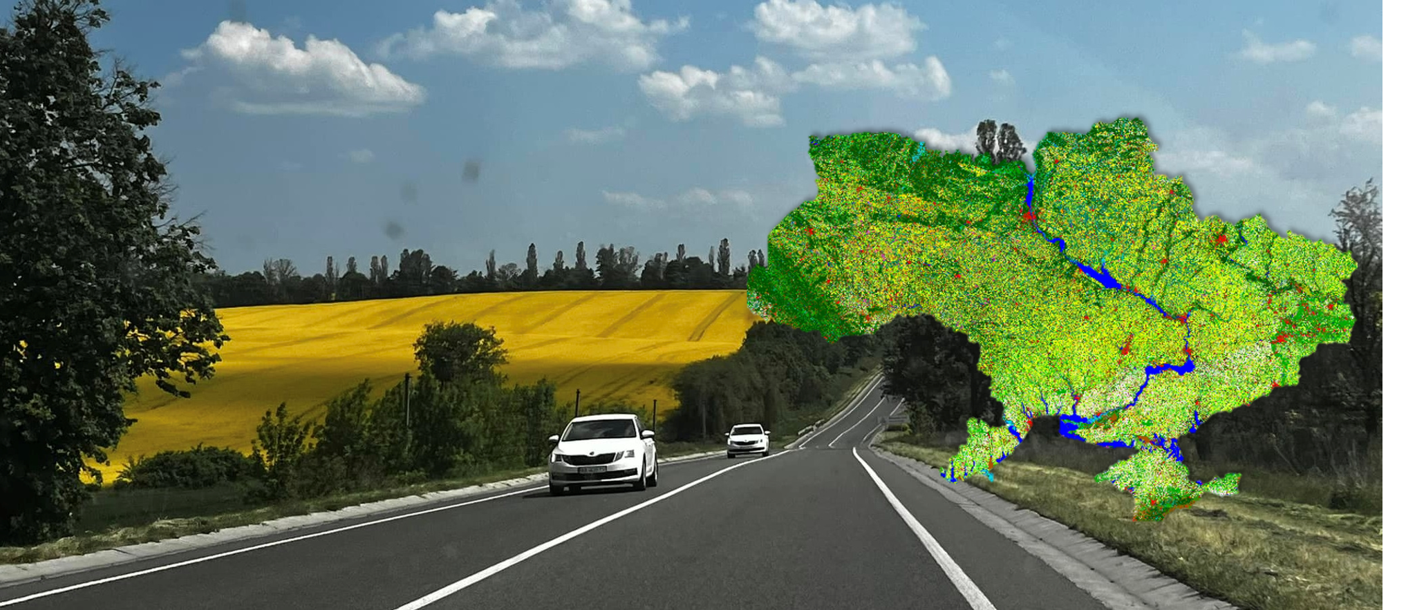
With the beginning of the war, the collection of statistical information on the sown area of crops, in particular winter crops, became almost impossible. Satellite data comes to the rescue in this situation, which makes it possible to look at the situation from space and objectively assess how many and which crops have been sown. However, to create a model and validate the obtained crop map, we need reliable data from the fields, which we actually collect during such trips.
Our team works together with the World Bank, the State Statistics Service of Ukraine, with in the framework of the projects of the National Research Fund of Ukraine and the Ministry of Education and Culture (not limited to this list) for the digital transformation of our country and to achieve the European level of management and monitoring of agriculture.
We also try to involve our talented students to work in projects! Therefore, if you want to work on real tasks in leading projects, you should come to us!