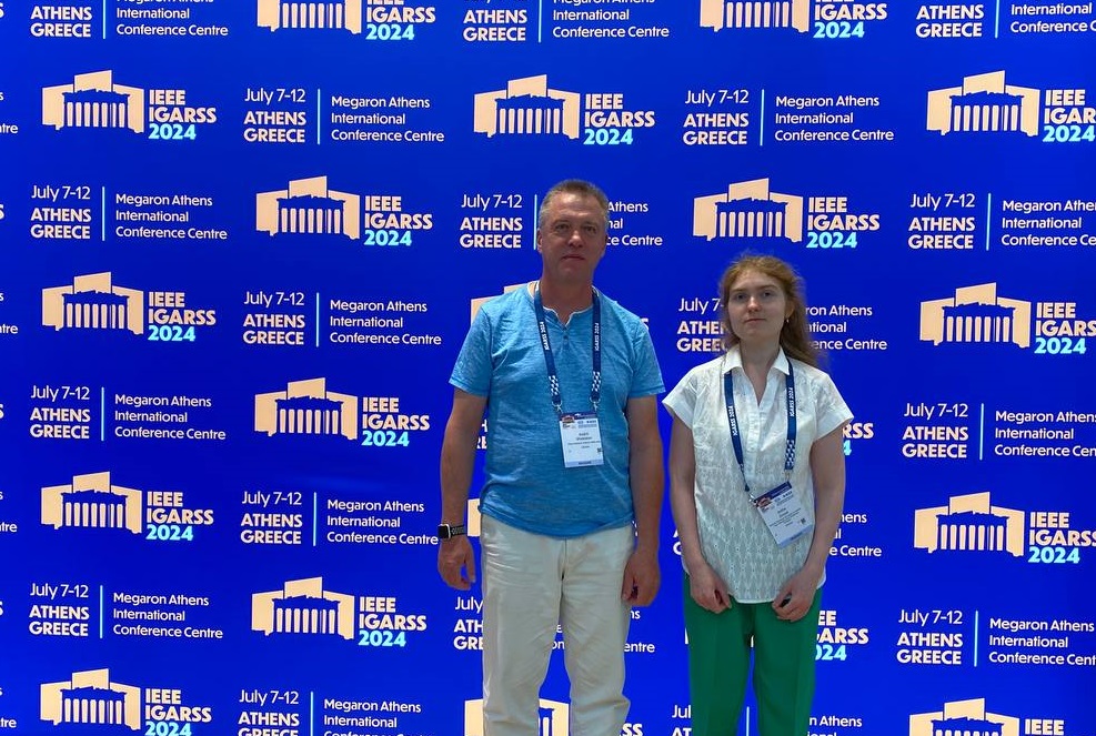
Professor of our department Andrii Shelestov and 1st-year master’s student Sofiia Drozd presented 4 of our papers at the 2024 IEEE International Geoscience and Remote Sensing Symposium (IGARSS 2024), which took place on July 7-12, 2024 in Athens, Greece.
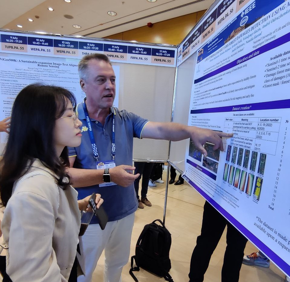
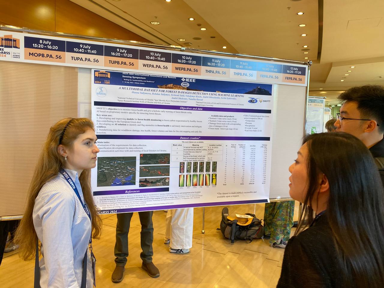
Two papers on “Features’ Selection for Forest State Classification Using Machine Learning on Satellite Data” (authors Yevhenii Salii, Volodymyr Kuzin, Alla Lavreniuk, Nataliia Kussul) and “A multimodal dataset for forest damage detection and machine learning” (authors Hanna Yailymova , Bohdan Yailymov, Yevhenii Salii, Volodymyr Kuzin, Andrii Odruzhenko, Serhii Sydorenko, Andrii Shelestov, Nataliia Kussul), were performed within the framework of the HORIZON Europe project “Satellites for Wilderness Inspection and Forest Threat Tracking” (SWIFTT) and were devoted to the use of machine learning in engineering signs for determining damaged forests based on satellite data, as well as forming a data set on the basis of which research was conducted.

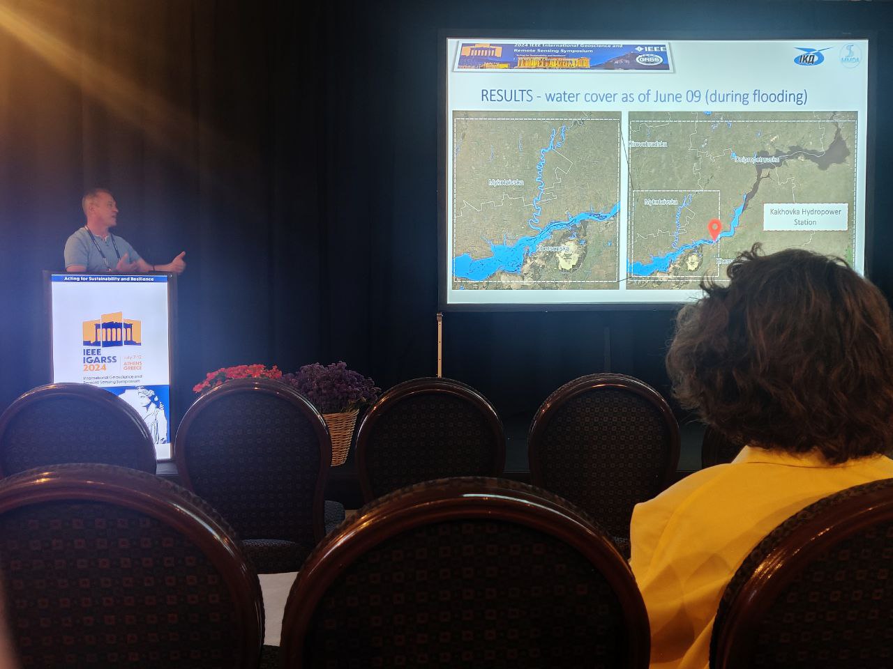
The work on the topic “Flooded areas monitoring below the Kakhovka Dam based on machine learning and satellite data” (authors Bohdan Yailymov, Hanna Yailymova, Nataliia Kussul, Andrii Shelestov) was devoted to monitoring flooded areas due to damage to the Kakhovka HPP using machine learning and satellite data. In general, it was identified that 47 thousand hectares were flooded as of June 9, 2023, of which 1.67 thousand hectares are agricultural lands and 1.85 thousand hectares are cities. Such estimates are made possible with the additional use of land cover maps that we build every year! This work was carried out within the framework of the project Information Technologies of Geospatial Analysis of the Development of Rural Territories and Communities (MES), which is financed by the external assistance tool of the European Union for the fulfillment of Ukraine’s obligations in the Framework Program of the European Union for Scientific Research and Innovation “Horizon 2020”.
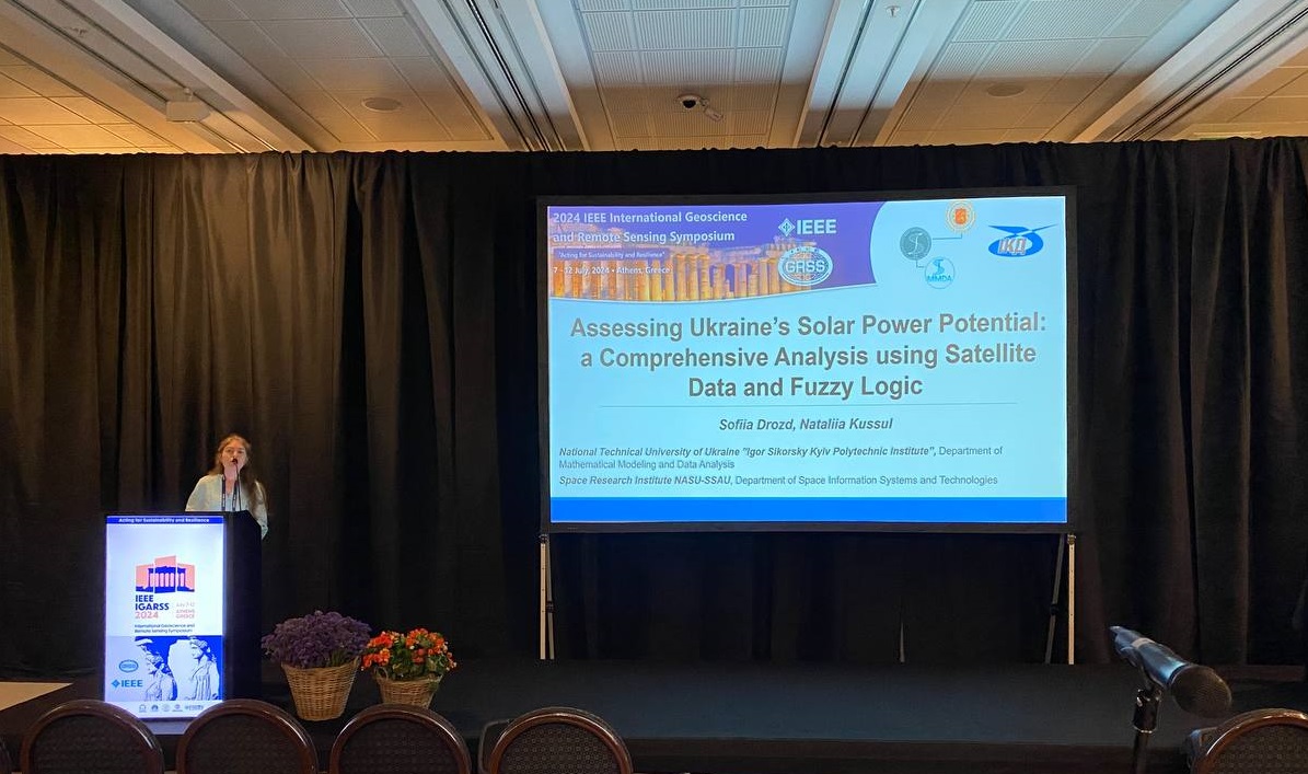
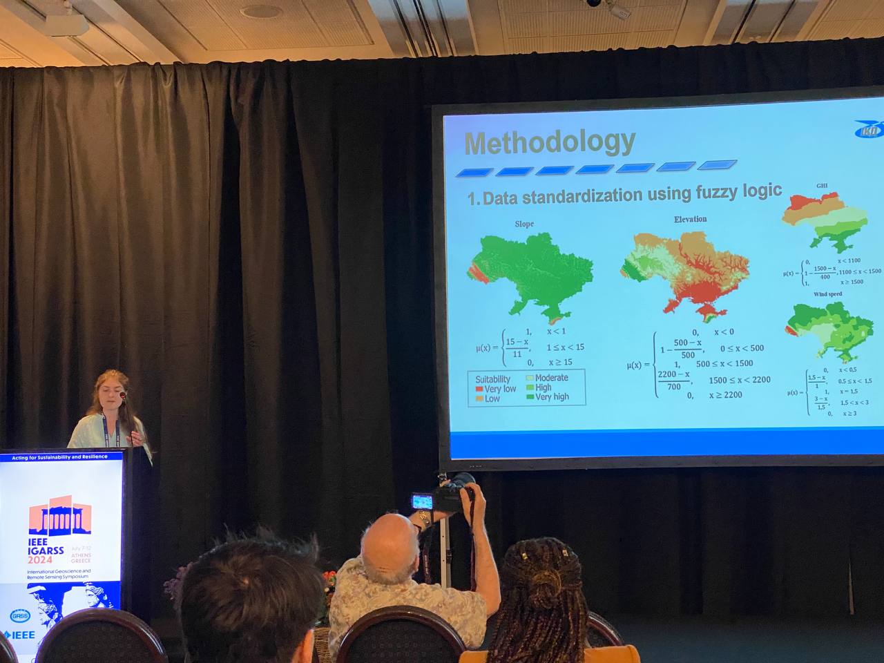
Also, at the conference, the work within the Horizon Europe project “U CAN Towards Carbon Neutrality of Ukrainian Cities” on the topic “Assessing Ukraine`s solar power potential: a comprehensive analysis using satellite data and fuzzy logic” was tested for the first time (authors Sofiia Drozd, Nataliia Kussul), within which a map of land suitability for installing solar power plants was created using heterogeneous geospatial data and machine learning. The obtained results showed that more than half of the territory of Ukraine has a high level of suitability for solar power plants, especially in the southern and eastern regions, which are currently under occupation.
We remind you that IGARSS is the largest conference in the field of remote sensing, which brings together about 2500 scientists and professionals from all over the world!
We are proud of our colleagues and wish for new research, projects and victories!