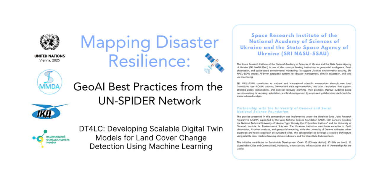
The development of the MMDA ER IPT together with the Space Research Institute of the NASU within the framework of the Ukrainian-Swiss scientific project of the NRFU “DT4LC: Developing Scalable Digital Twin Models for Land Cover Change Detection Using Machine Learning” has been recognized as one of the best practices of GeoAI according to the UN-SPIDER version (https://www.un-spider.org/about/MappingDisasterResilience)
What is this project about?
The research is aimed at creating a digital twin of Ukrainian territories – a comprehensive geoinformation system that combines data on the natural, social, infrastructural and ecological characteristics of regions.
Thanks to the use of GeoAI methods, the digital twin allows you to model scenarios for the development of territories, assess risks, predict the consequences of emergencies and support strategic decision-making at the state and local levels.
We wish you successful implementation of the project and may the results exceed expectations!