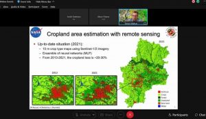
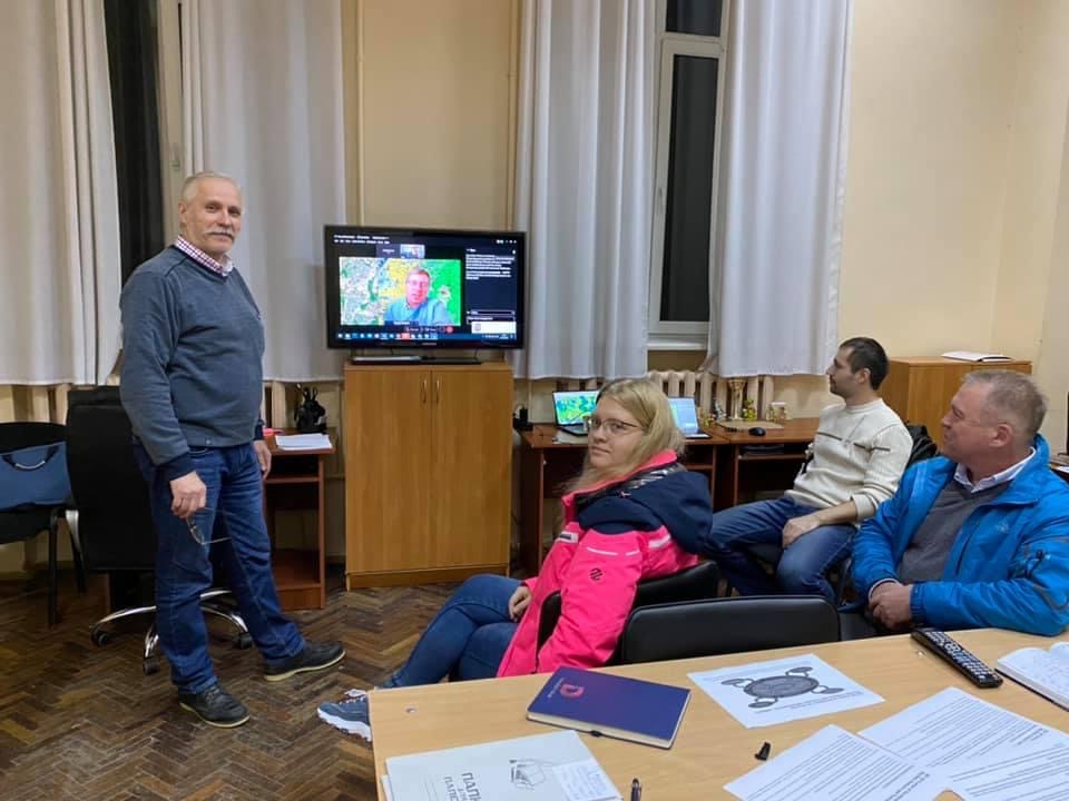
Serhiy Skakun, a professor at the University of Maryland, a student of our science school, presented our joint results on the NASA project at a webinar on NASA land cover and change program on «Monitoring Land Use Change in Southeastern Ukraine during the Military Conflict».
One of the developments is the detection of artillery and missile funnels, missiles, bombs and unexploded ordnance. It is because of the conflict in eastern Ukraine that the use of heavy weapons has intensified, and thanks to developments within the project, it is possible to track the effects of the military conflict through space imagery and state-of-the-art approaches to deep learning. Real images were presented for clarity.
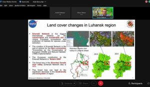
In addition, a study of the Emerald Network in Luhansk Oblast showed that forest loss in the Seversky Donets River is 46% and could lead to a significant reduction in the region’s biodiversity.
This is only two percent of what was covered on the webinar, so those who did get to the conference should be envied. At a time when technology is evolving at lightning speed, no opportunity can be lost.
Thank you for an interesting meeting Serhiy, organizers and participants of the project, and we wish everyone else inspiration in their achievements!


