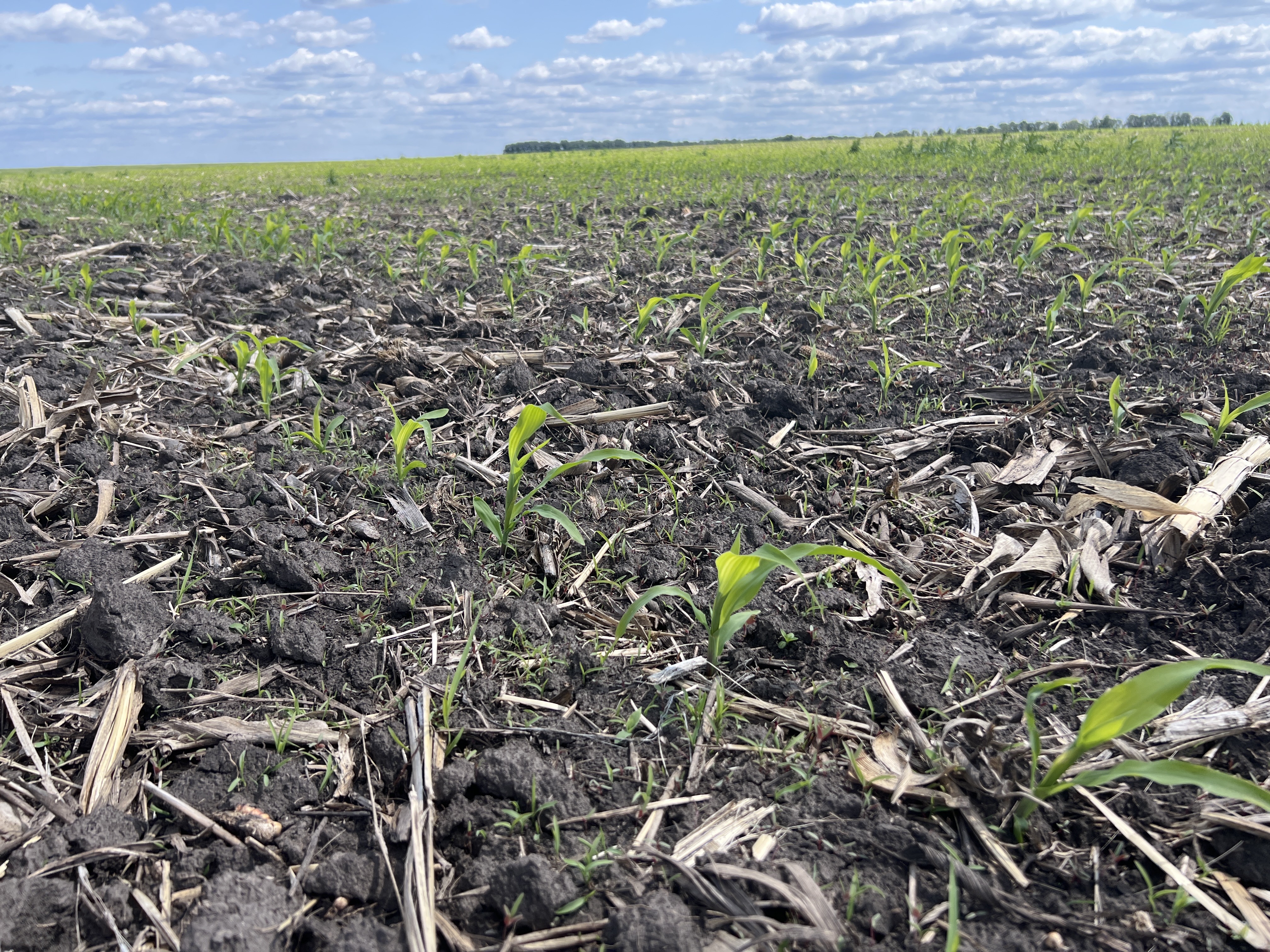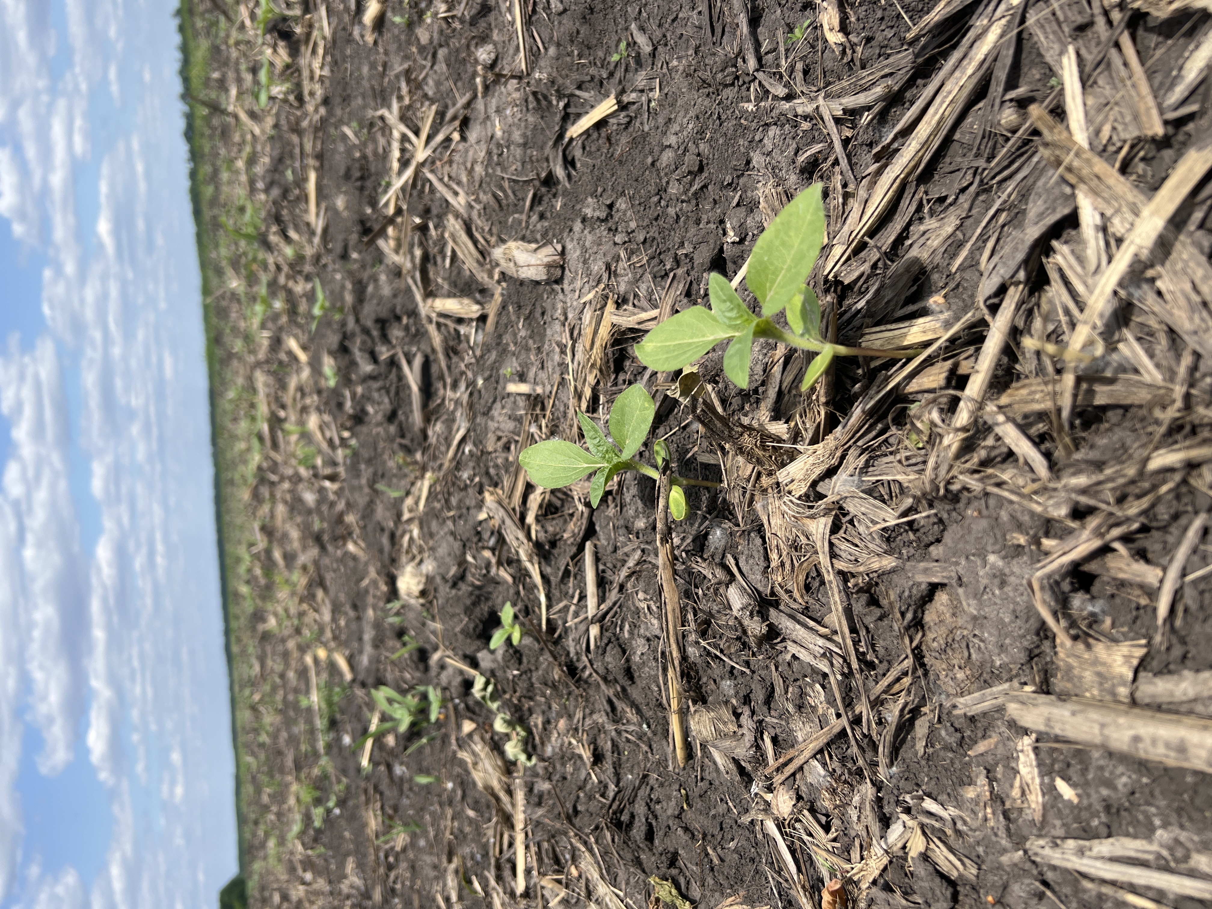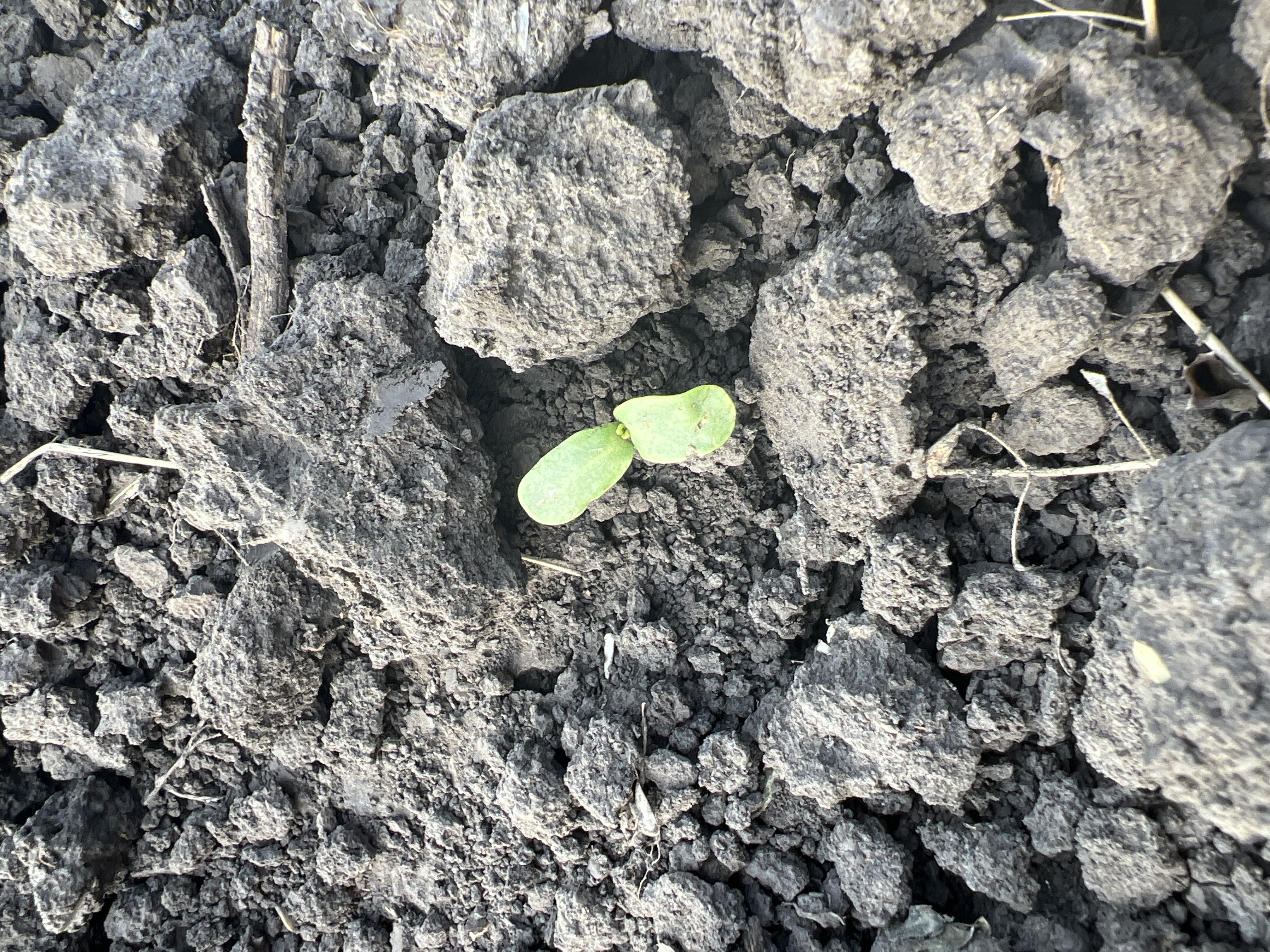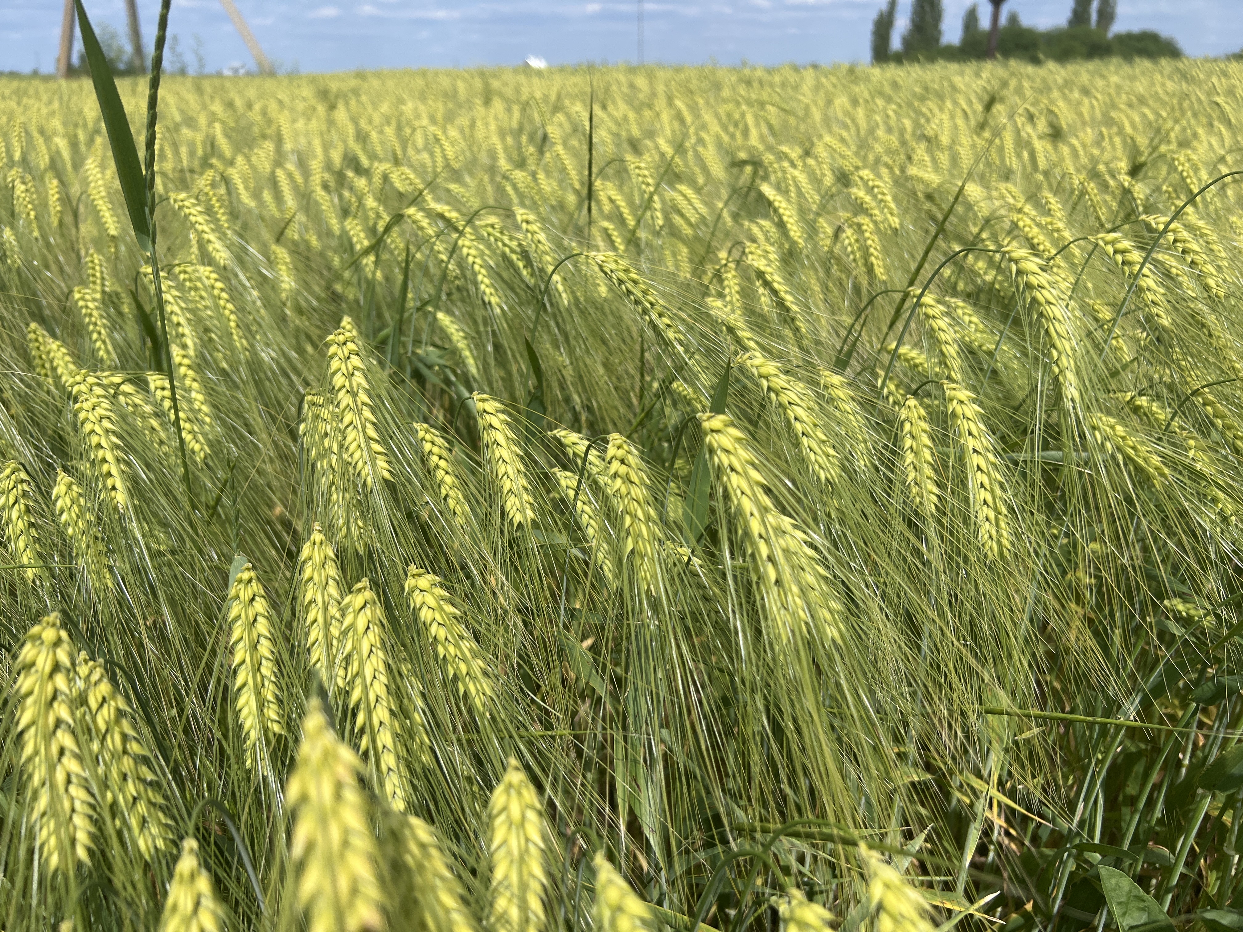
Happy to share some exciting news with you again — our team is back on the ground exploring!is back on the ground exploring!
Why? In order to collect data on real crop crops and build a classification map across the entire territory of Ukraine.
Such a map is a geospatial product that allows you to estimate the area of crops from space in order to determine the resource stock of agricultural lands.
This is exactly why we collect data on such trips!
During the visit, we noticed that it seems that this year there is a certain saving of resources and sometimes crops are sown on top of last year’s stubble.
By the way, we took some photos for you so you can see it!