This year’s EuroGEO Workshop provides an opportunity to position European activities in the light of its new strategy and supports the coordination and interconnection of actions at the national and European levels, as well as in different sectors and areas, in order to create relevant and effective contributions to GEO activities.
At the seminar, Professor Nataliia Kussul presented the main results of the use of satellite monitoring in Ukraine at the Agriculture poster section (“EuroGEO related activities in Ukraine”), in particular:
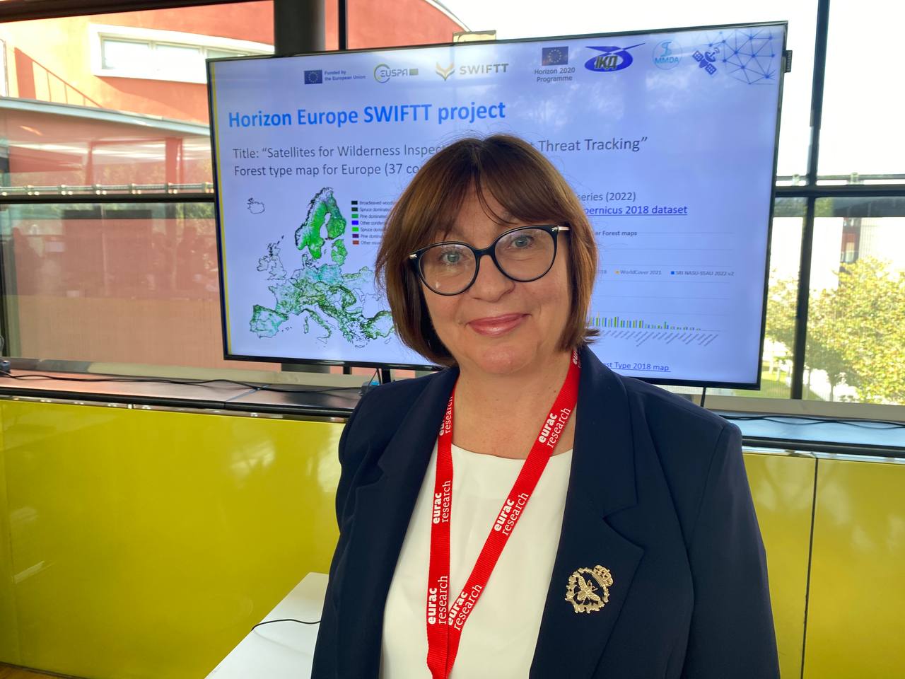
1️⃣ About forest monitoring within the Horizon Europe SWIFTT project
2️⃣ On the monitoring of SDG 11.6.2 “Annual mean levels of fine particulate matter in cities” for Ukraine and the creation of a COPERNICUS-compliant Urban Atlas for Kyiv within the H2020 ERA-PLANET SMURBS project
3️⃣ On the assessment of the SDG 2.4.1 indicator “Proportion of agricultural area under productive and sustainable agriculture” for Ukraine within the framework of the H2020 ERA-PLANET GEO-ESSENTIAL project
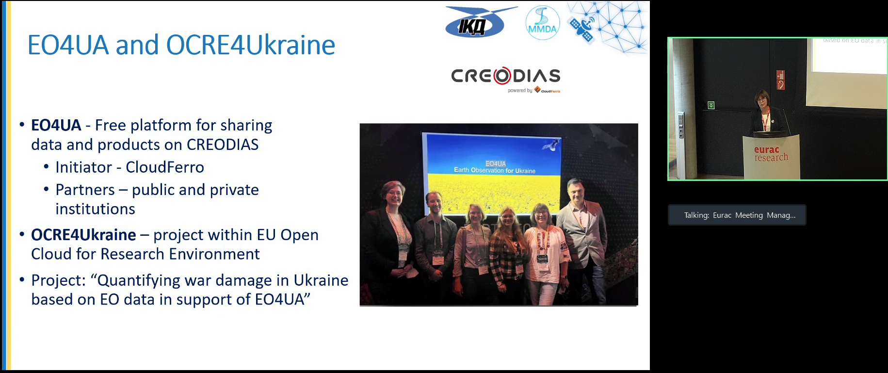
4️⃣ On the creation of a geoportal with geospatial layers for the territory of Ukraine, including indicator 2.4.1, land degradation maps, land cover and crop types maps within the H2020 e-shape project in cooperation with Polish partners CloudFerro and with the support of the EO4UA initiative and the OCRE project
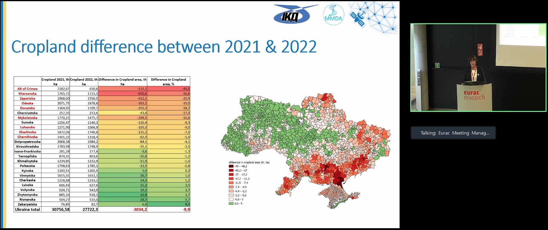
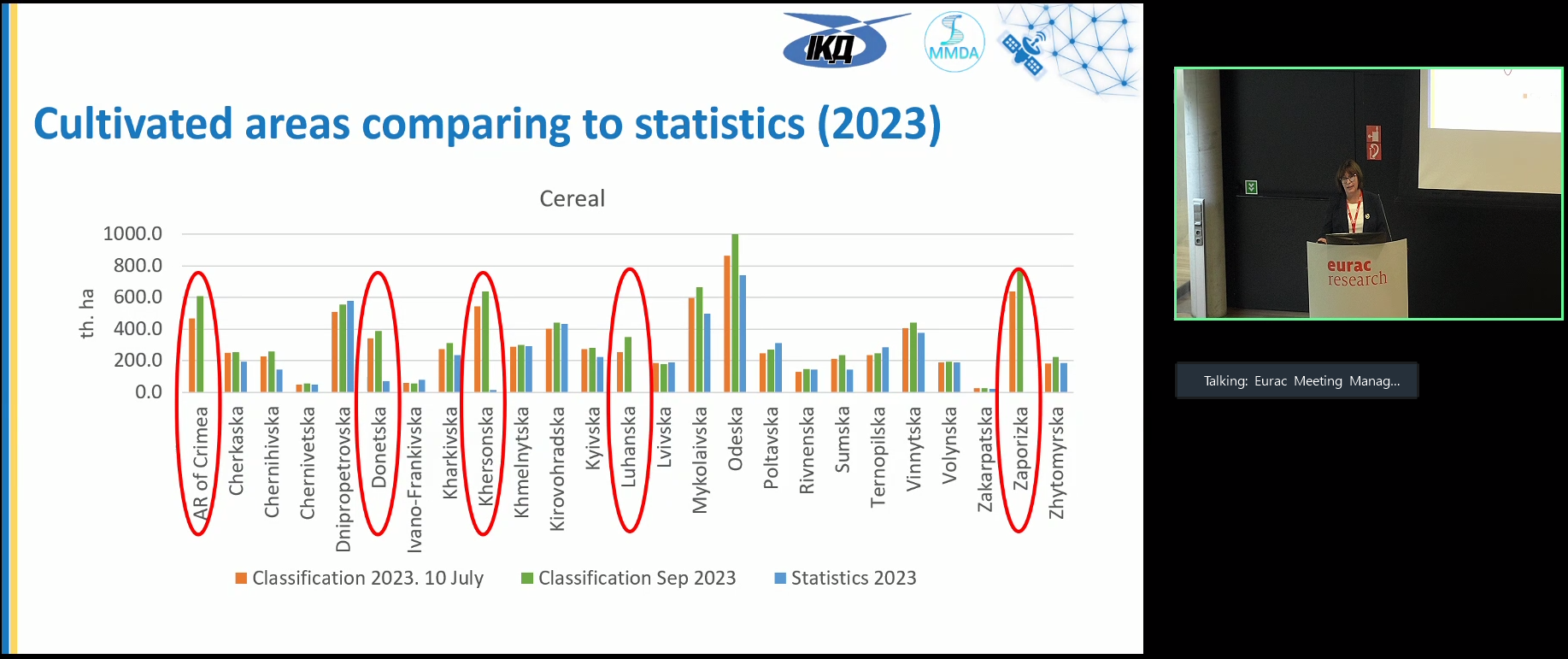
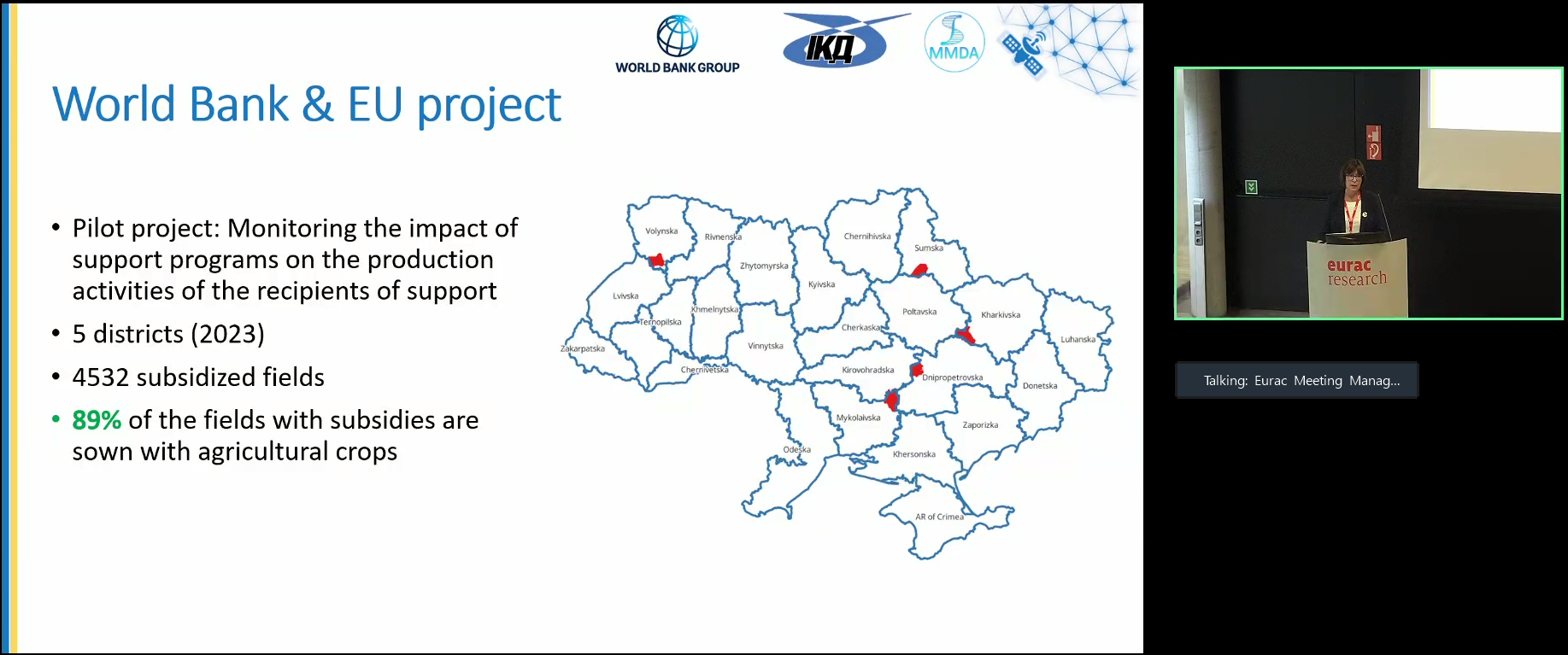
Also, in the section Scaling European Land Cover / Land Intelligence standards to the world, Nataliia Mykolaivna presented our results “Utilizing Machine Learning for Land Cover / Land Use Change Analysis in Ukraine” on the use of artificial intelligence for annual monitoring of sown areas in Ukraine and the possibility of using satellite information in public administration, in particular to monitor the effectiveness of subsidy and tax exemption programs.
We are proud of the achievements of our department and continue to move towards new achievements!