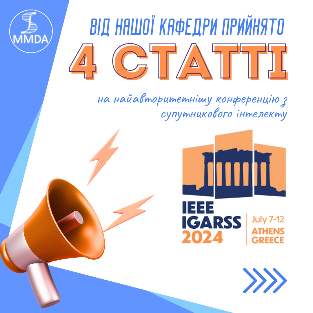
We are happy to announce that 4 works of our department were accepted to participate in the most prestigious satellite intelligence conference 2024 IEEE International Geoscience and Remote Sensing Symposium, which will be held in Athens, Greece, from July 7 to 12, 2024!
More about articles:
- Selection of functions for forest state classification using machine learning of satellite data
Yevhenii Saliy, Volodymyr Kuzin, Alla Lavreniuk, Natalia Kussul
The paper uses advanced computer imaging and artificial intelligence techniques to analyze satellite monitoring, focusing on semantic segmentation to identify multiplet forests using Sentinel-2 optical satellite spectral imagery. The work was carried out within the framework of the European project “Satellites for surveying wildlife and monitoring forest threats” – SWIFTT.
- Multimodal dataset for forest damage detection and machine learning
Hanna Yalymova, Bohdan Yalymov, Yevgeny Saliy, Volodymyr Kuzin, Natalia Kussul, Andriy Shelestov
The paper presents an open data set for the territory of Ukraine, developed for training neural network models to determine forest damage. The created data set contains time series of optical (Sentinel-2), radar (Sentinel-1) and meteorological (ERA-5) data, as well as labels of damaged forests due to fire or drying. The work was carried out within the framework of the European project “Satellites for surveying wildlife and monitoring forest threats” – SWIFTT.
- Monitoring of flooded areas under the Kakhovskaya dam based on machine learning and satellite data
Bohdan Yalymov, Hanna Yalymova, Natalia Kussul, Andriy Shelestov
The work analyzed the areas of flooded territories due to the destruction of the Kakhovskaya dam in Ukraine using machine learning and satellite data.
- Assessing Ukraine’s solar power potential: a comprehensive analysis using satellite data and fuzzy logic
Sofiia Drozd, Nataliia Kussul
With the help of multi-criteria analysis using fuzzy logic, pairwise comparisons and weighted linear combination, the work carried out a comprehensive assessment of the territory of Ukraine and developed a suitability map for the installation of solar power plants using satellite data on climate, terrain and land use.
This is a great credit to our talented team, which continues to prove its leadership and expertise in the field of geoinformation technology and remote sensing.
We are written by our scientific supervisors and students who not only deepen their knowledge, but also actively participate in international scientific events!
We wish our participants success at the performance!