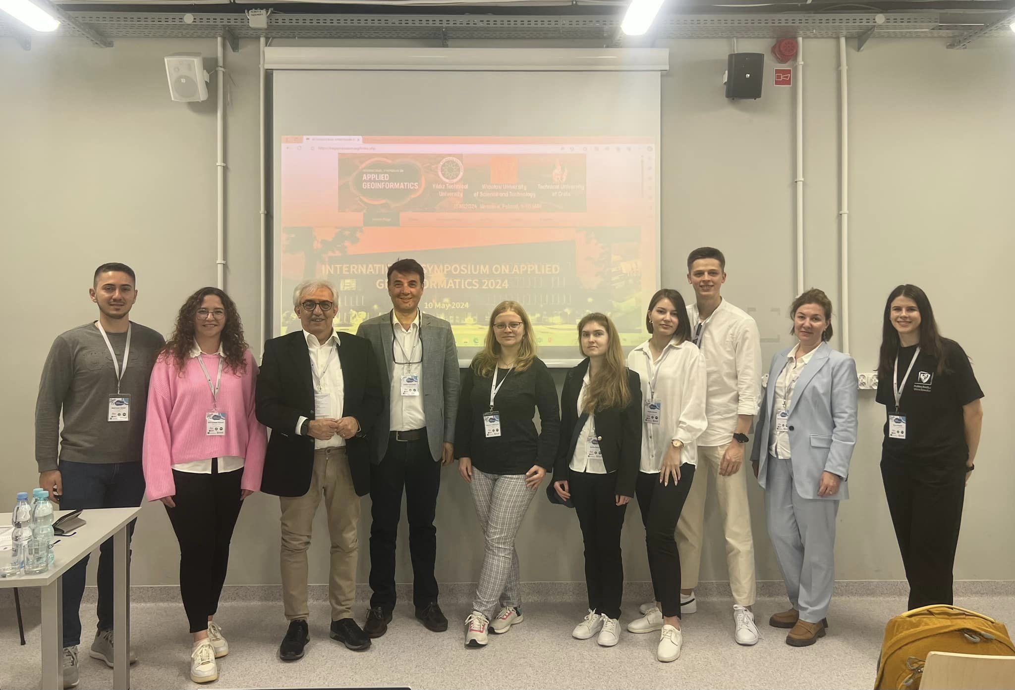
On May 9-10, 2024, the International symposium on applied geoinformatics 2024 (International symposium on applied geoinformatics – ISAG2024) was held in Wroclaw, Poland.
In total, more than 100 scientific works were presented at the symposium, of which 7 works were presented by our teachers and students. In particular, Hanna Yalymova, a senior lecturer at the MMDA department, Sofia Drozd, a 1st-year master’s student at the MMDA department, and 4th-year undergraduate students at the MMPI department, Bohdan Potuzhnyi and Vlada Svirsh, who are active participants in both international and national projects, which are carried out under the leadership of professors Nataliia Kussul and Andrii Shelestov.
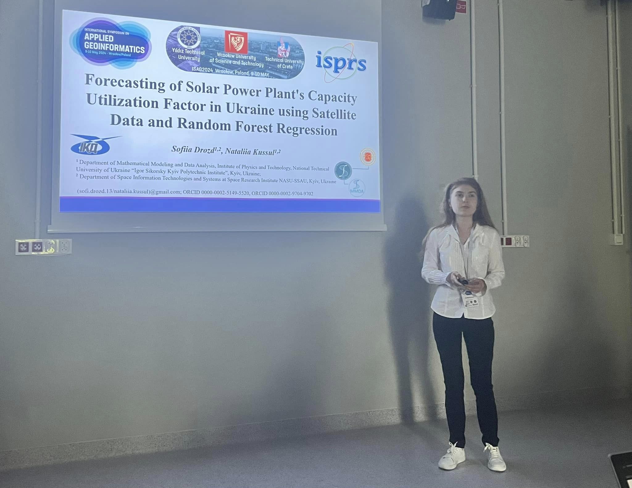
Sofia Drozd, a 1st-year master’s student, gave a presentation on “Forecasting of Solar Power Plant’s Capacity Utilization Factor in Ukraine using Satellite Data and Random Forest Regression” within the artificial intelligence section. The research is aimed at using machine learning technologies to estimate and forecast the capacities of solar power plants in Ukraine depending on the meteorological and topographical parameters of the area.
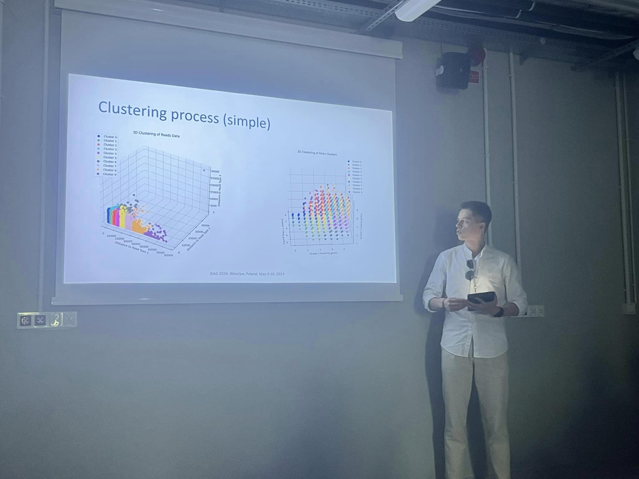
Bohdan Potuzhny, a 4th-year undergraduate student of the Department of the Institute of Medical Sciences, presented his research on the topic “Graph-Based Modeling of Village Infrastructure Development” at the section on artificial intelligence. The main result of this study is a methodology for calculating the level of infrastructure development of villages using graph data engineering. This method clusters villages in Ukraine by infrastructure quality and identifies imbalances in local amenities such as schools, hospitals and shops, among others. The resulting model can be applied to different countries and infrastructure indicators, allowing the identification of areas for improvement at different stages of development.
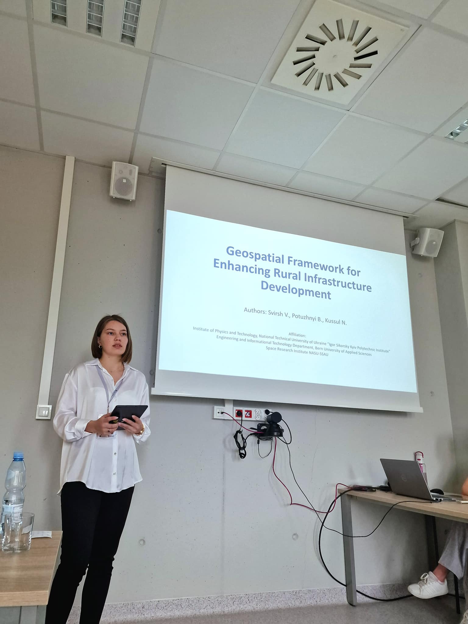
Vlada Svirsh, a 4th-year undergraduate student of the Department of MMPI, presented her research on the topic “Integrated Geospatial Analysis for Rural Development Metrics” at the Engineering surveying, BIM and GIS section. The main result of the research is the development of a comprehensive methodology for creating a data set that accurately describes the level of infrastructure development in villages This dataset combines geospatial data with information from independent sources and private companies, including postal services, telecommunications providers, and more. Combining these diverse data sources provides a multidimensional view of village infrastructure to understand various aspects of community development. These works were carried out within the framework of the MES project “Information technologies for geospatial analysis of the development of rural areas and communities”, which is financed by the external assistance tool of the European Union for the fulfillment of Ukraine’s obligations in the European Union’s Framework Program for Scientific Research and Innovation “Horizon 2020”.
Senior lecturer Yalymova Hanna presented the works of the MMAD department team on the topics “Transfer Learning Models for Oil Spills Detection Based on Satellite Data” within the artificial intelligence section and “Transfer Learning Model for Chlorophyll-a Estimation Using Satellite Imagery” in the Environmental monitoring section. Both works are aimed at monitoring water quality in the Mediterranean Sea in the absence of sufficient initial data (locations with oil spills or chlorophyll-a concentrations) directly in the pilot area. That is why, in both cases, technologies have been developed to transfer trained machine learning models from an area with a sufficient amount of ground and training information to an area where such information is absent or insufficient. The work was carried out within the European project HORIZON Europe “Innovative solutions for Mediterranean Ecosystem Remediation via Monitoring and decontamination from Chemical Pollution” (iMERMAID).
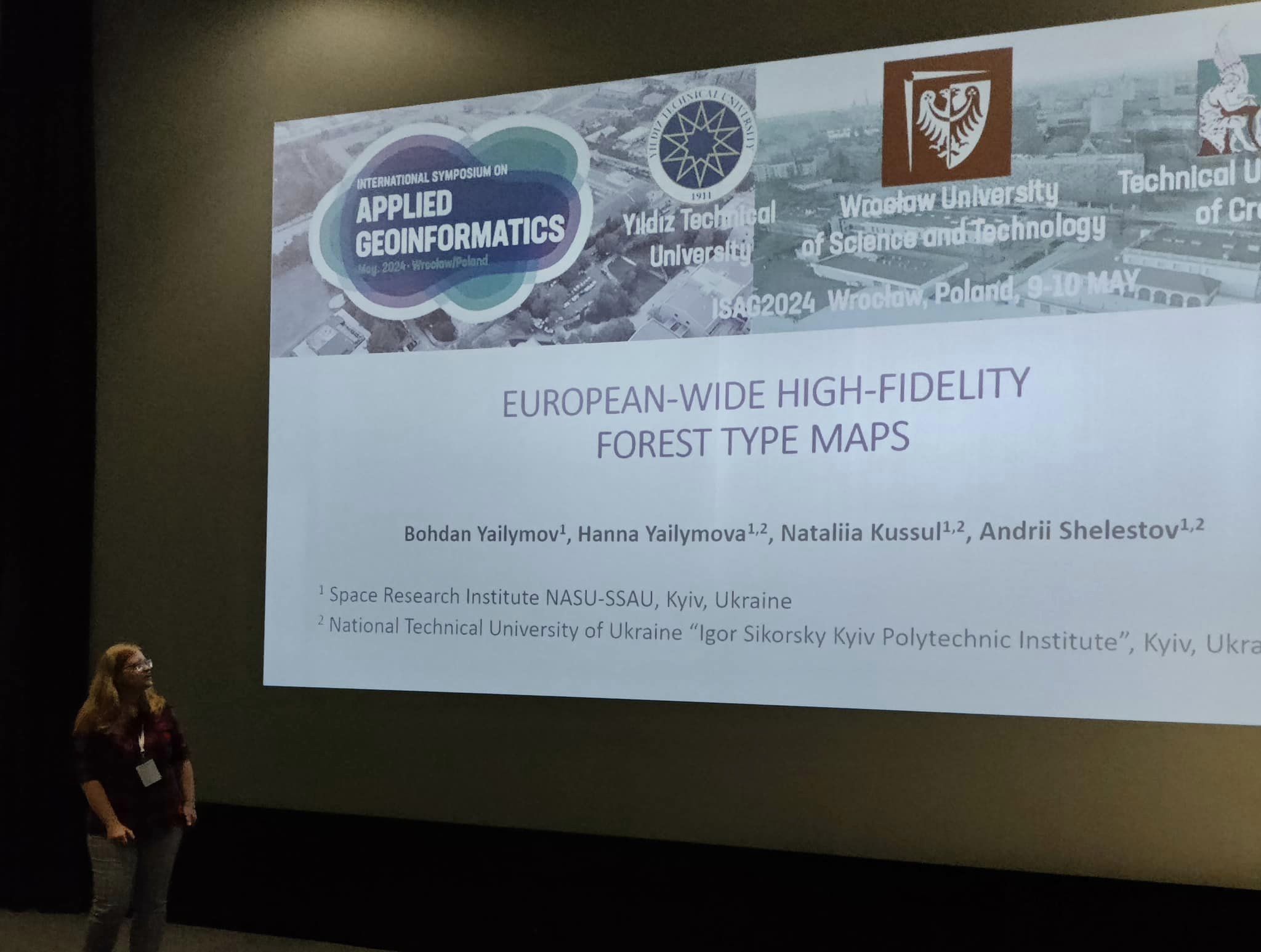
In addition, Hanna Yalymova made a presentation on the topic “European-wide High-fidelity Forest Type Maps” at the Environmental monitoring section. Within this work, the authors developed a methodology for building a modern map of forest types for 2022. This methodology is based on the use of machine learning methods for large volumes of satellite information in the Google Earth Engine cloud platform. The result of the work is a map of forest types with a spatial resolution of 10 meters, which covers the entire territory of Europe and also has a division into coniferous, deciduous and mixed forests. This provides an opportunity to surpass existing forest cover products and maps. The work was carried out within the European project HORIZON Europe “Satellites for Wilderness Inspection and Forest Threat Tracking” (SWIFTT).
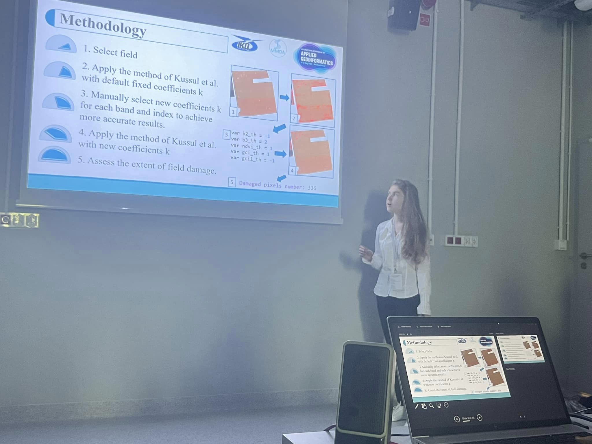
Sofia Drozd also made a presentation “Symbiotic AI and satellite imagery for rapid assessment of war-induced agricultural damage in Ukraine” in the artificial intelligence section. The paper considers the currently relevant task of automatic detection of damage to agricultural fields from military operations using satellite data and artificial intelligence. This study is conducted with the support of the World Bank.
The head of the artificial intelligence section, prof. Dr. Bulent Bayram of the Turkish Technical University (Yildiz Technical University) expressed his great gratitude to prof. Natalia Kussul for the training of highly qualified youth and their active involvement in both scientific projects and performances at the international level.