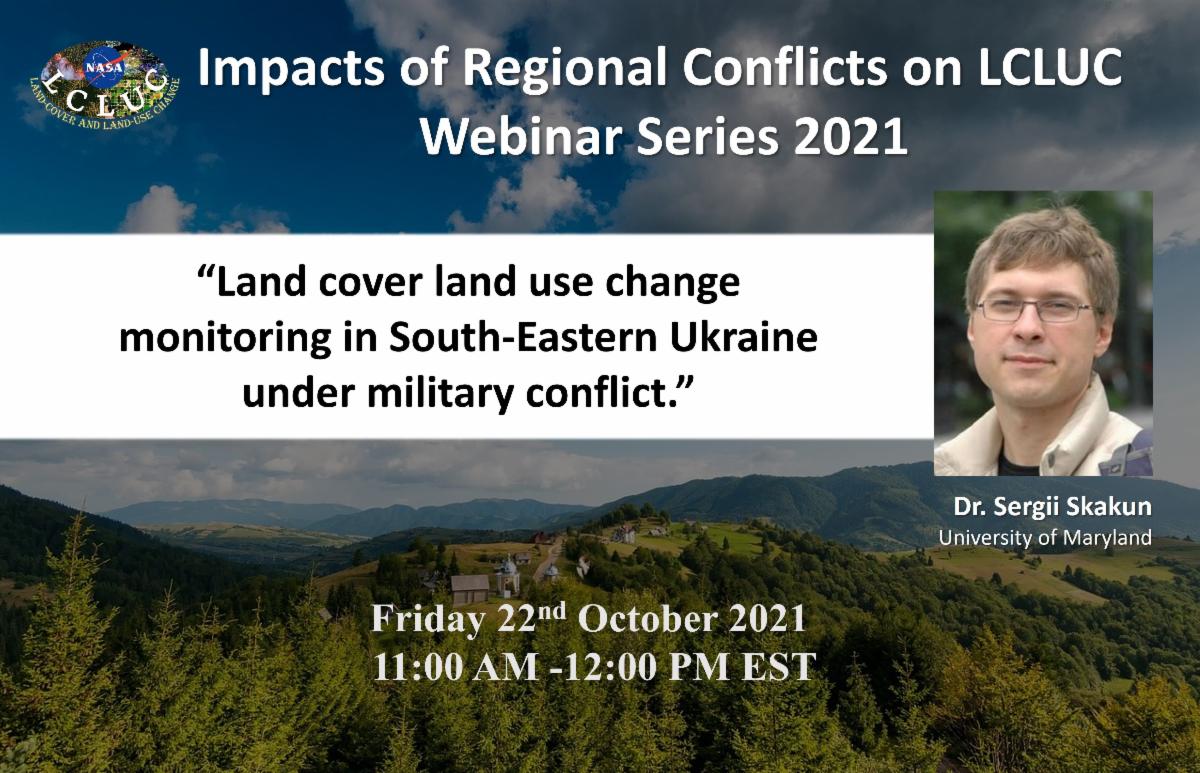
On Friday, October 22, at 19:00, a webinar on NASA program on land cover and change will be held on «Monitoring land use change in southeastern Ukraine during the military conflict». Serhiy Skakun, a professor at the University of Maryland, will talk about the project, which involves staff from the Department of Mathematical Modeling and Data Analysis and the Space Research Institute.
Unfortunately, not everyone understands the consequences of the military conflict that has been going on in southeastern Ukraine since 2014. At present, only 68% of Donetsk oblast and 69% of Luhansk oblast are under the control of the Government of Ukraine, and their share in the national GDP has decreased to 7.5%. This is not all the changes that are known through the work on the project. Various remote sensing data are now widely used to monitor and quantify changes in various industries.
To find out which images are used to map neglected crops in the regions, what data is used to map artillery craters in agricultural fields and other details, register by following the link to the webinar, which will start very soon.
Are waiting for you!

