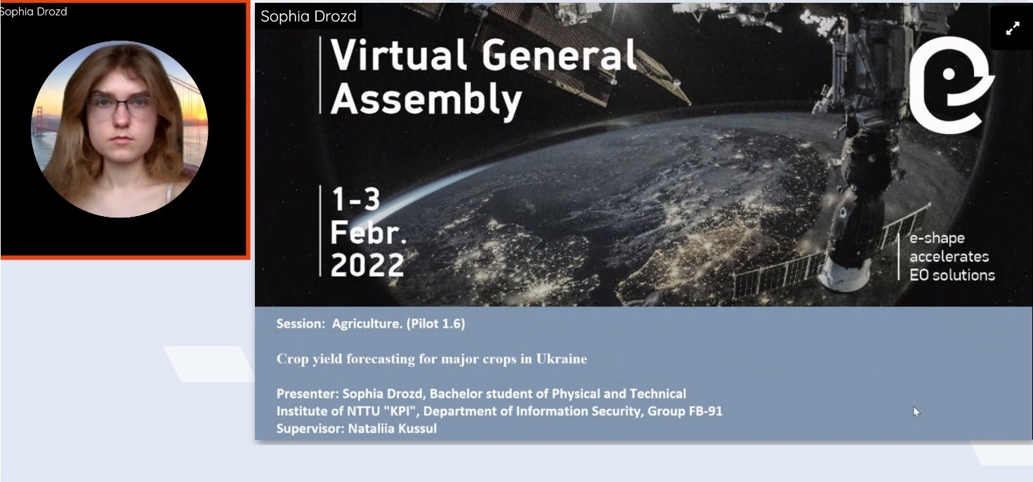
Accepted abstracts for the IEEE SAIC-2022 conference
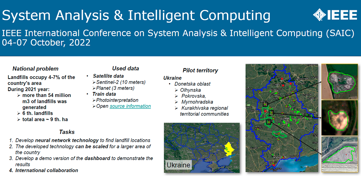
Employees of the department submitted a paper on the topic “Neural network model for monitoring of landfills using remote sensing data” to the IEEE International Conference on System Analysis and Intelligent Computing (SAIC-2022) and successfully passed the review stage.… Continue reading