2025
 Chapter. Digital Twins for Land Use Change
Nataliia Kussul, Gregory Giuliani, Andrii Shelestov, Sofiia Drozd, Andrii Kolotii, Yevhenii Salii, Anton Cherniatevych, Oleksandr Yavorskyi, Volodymyr Malyniak, and Charlotte Poussin
In: Zgurovsky, M., Pankratova, N. (eds) System Analysis and Data Mining . Studies in Systems, Decision and Control, vol 609. Springer, Cham. https://doi.org/10.1007/978-3-031-97529-5_22
Print ISBN 978-3-031-97528-8
Online ISBN 978-3-031-97529-5
Rapid environmental, socio-economic, and geopolitical changes are accelerating transformations in land use patterns worldwide. To effectively monitor and predict these dynamics, DTs offer a promising approach by integrating real-time Earth observation data, climate models, AI-driven analytics, and socio-economic indicators. This paper identifies a critical gap in the application of Digital Twins (DT) frameworks for land use change monitoring, which remains underexplored. We propose a novel two-timescale DT architecture designed to track both rapid event-driven land cover changes (such as floods, wildfires, war-induced damage) and gradual long-term transformations, such as climate-induced agricultural shifts and urban expansion. By bridging the gap between advanced Earth observation technologies and decision-making processes, the proposed framework contributes to the development of AI-enhanced DT systems that facilitate climate adaptation, disaster response, and long-term sustainability in dynamic land systems.
 Chapter – Advanced Pollutions’ Monitoring in the Mediterranean Sea: AI-Based Approach Using Satellite Data and Products.
Andrii Shelestov, Pavlo Henitsoi, Bohdan Yailymov & Nataliia Kussul.
Lecture Notes in Networks and Systems, vol 1338. Springer, Cham. https://doi.org/10.1007/978-3-031-89296-7_30
Print ISBN 978-3-031-89295-0
Online ISBN 978-3-031-89296-7
This study focuses on assessing pollutants concentrations in the Mediterranean Sea using satellite imagery and products. Traditional methods for measuring pollutants are labor-intensive, expensive, and have limited spatial and temporal coverage. As a result, satellite observations have become an effective solution for monitoring seawater across expansive areas. While low spatial resolution satellite datasets enable surface-level measurements, their restricted accuracy and low-resolution present challenges in detecting localized changes in coastal zones. To enhance the spatial resolution and accuracy of sea pollutants assessment, we have proposed an information technology based on machine and transfer learning techniques, which applied to pilot areas of the HORIZON Europe IMERMAID project in the Mediterranean Sea. Our approach integrates low-resolution satellite data with ground-based in-situ data and Sentinel-2 satellite imagery. Within the study we investigated key challenges in processing both satellite and ground data, conducting a comparative analysis among various satellite datasets (Sentinel-1, Sentinel-2, Sentinel-3, GCOM-C/SGLI) and ground datasets to identify the most informative indicators influencing sea pollutants’ levels. We used machine learning algorithms, particularly Random Forest and Multi-Layer Perceptron to develop an information technology that improves the spatial resolution of sea pollutant concentration maps by leveraging Sentinel-2 satellite optical data. This technology allows to generate maps of sea pollutants, such as chlorophyll-a, with a spatial resolution of 10 m for the pilot areas of the iMERMAID Horizon Europe project in the Mediterranean Sea. Due to the lack of data for the pilot regions the common approach is based on a transfer learning technique.
2024
 Методи комп’ютерного зору і глибинних нейронних мереж для еколого-економічного аналізу
Куссуль Н.М., Шелестов А.Ю., Лавренюк А.М., Яйлимов Б.Я., Яйлимова Г.О., Колотій А.В., Дрозд С.Ю., Савін В.В., Мікава П.В., Кириленко І.А., Яворський О.А., Охріменко А.О., Пархомчук О.М., Харь Д.Ф., Волкова Є.А.
К.: “Наукова думка” – 2024. – 474 с.
ISBN: 978-966-00-1940-9
https://doi.org/10.20535/978-966-00-1940-9
Монографія містить результати досліджень кафедри математичного моделювання і аналізу даних Національного технічного університету України «КПІ імені Ігоря Сікорського» для вирішення задач еколого-економічного аналізу на основі сучасних методів комп’ютерного зору і глибинного навчання. В її основу покладено результати національних і міжнародних проєктів МОН України, НФДУ та Horizon Europe.
Запропонована методологія впроваджується у Мінагрополітики та продовольства України, Держстаті, Держгеокадастрі. На міжнародному рівні результати використовуються банком EBRD, центром JRC-EC, платформою UN-SPIDER та програмою NASA Harvest по використанню супутникових даних для сільськогосподарського моніторингу. Монографія є внеском України у програму EuroGEO по інтеграції європейських практик для підтримки прийняття рішень. Наведені результати є основою для розвитку інноваційних проєктів і стартапів по супутниковому моніторингу, екології, сільському господарству та управлінню природними ресурсами.
Монографія буде корисною для науковців, які займаються розробкою та впровадженням інтелектуальних моделей, фахівців із геопросторового аналізу, представників державних органів влади та міжнародних організацій, відповідальних за управління природними ресурсами та екологічний моніторинг. Вона стане цінним ресурсом для студентів, аспірантів та викладачів технічних і природничих спеціальностей.
Підготовлено до друку за підтримки Міністерства освіти і науки України в межах конкурсного проєкту № РН/27-2023 від 25.2023 р. програми зовнішнього інструменту допомоги Євросоюзу.
Link>>> (Повне видання)
Link>>> (Зміст та розділи)
Chapter. A Survey of Deep Learning for Remote Sensing, Earth Intelligence and Decision Making
Nataliia Kussul, Volodymyr Kuzin & Andrii Shelestov
Luntovskyy, A., Klymash, M., Melnyk, I., Beshley, M., Schill, A. (eds) Digital Ecosystems: Interconnecting Advanced Networks with AI Applications. TCSET 2024. Lecture Notes in Electrical Engineering, vol 1198. Springer, Cham. https://doi.org/10.1007/978-3-031-61221-3_5
Print ISBN 978-3-031-61220-6
Online ISBN 978-3-031-61221-3
This article presents a comprehensive overview of the applications of deep learning techniques in remote sensing. It discusses various neural network architectures, including convolutional neural networks (CNNs), recurrent neural networks (RNNs), generative adversarial networks (GANs), and graph neural networks, and their utilization in tasks such as land cover mapping, object detection, image segmentation, time series analysis, and change detection. Specifically focusing on Ukraine, the article highlights successful applications of deep learning, such as multi-temporal crop classification using Sentinel data, object detection for disaster monitoring, agricultural yield forecasting through RNNs and GANs, and the potential of graph neural networks in various remote sensing applications. Future prospects include further innovation in deep learning architectures, particularly transformers, and the adoption of hybrid models for Earth Intelligence and decision-making support.
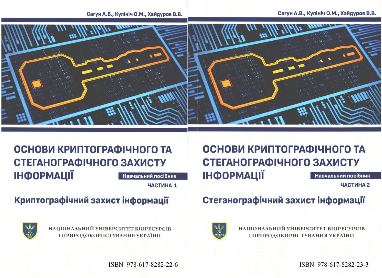
Основи криптографічного захисту інформації. Частина 1: Криптографічний захист інформації: навчальний посібник.
Санун А.В., Кілініч О.М., Хайдуров В.В.
Київ: НУБіП України, 2023 – 285 с. ISBN 978-617-8282-22-6.
Основи криптографічного захисту інформації. Частина 2: Стеганографічний захист інформації: навчальний посібник.
Санун А.В., Кілініч О.М., Хайдуров В.В.
Київ: НУБіП України, 2023 – 146 с. ISBN 978-617-8282-23-3
2023

Nataliia Kussul, Andrii Shelestov & Bohdan Yailymov
Dovgyi, S., Trofymchuk, O., Ustimenko, V., Globa, L. (eds) Information and Communication Technologies and Sustainable Development. ICT&SD 2022. Lecture Notes in Networks and Systems, vol 809. Springer, Cham, pp 303–321.
https://doi.org/10.1007/978-3-031-46880-3_19
Print ISBN 978-3-031-46879-7
Online ISBN 978-3-031-46880-3
This paper addresses the problem of processing large volumes of satellite data and compares different cloud platforms for potential solutions. Existing cloud platforms like Google Earth Engine, Amazon Web Services (AWS), and CREODIAS have been used to tackle this challenge. However, this study proposes an optimal pipeline for satellite data processing, taking into account the advantages and limitations of each platform. The specific focus is on solving machine learning problems using satellite data. In the experiment conducted, the effectiveness of each cloud platform was analyzed. It was found that cloud platforms offer benefits such as flexibility, access to computing resources, and parallel processing architectures, leading to increased productivity and cost reduction. CREODIAS, in particular, stands out due to its specialization in satellite data and easy access to various data types, along with tools for data searching and visualization. The experiment demonstrated that tasks, from data loading to classification, were executed fastest on CREODIAS resources. However, AWS performed data classification faster. The availability of its own internal data bucket was a significant advantage of CREODIAS, especially when considering ARD data. These findings contribute to the advancement of AI methodologies and have practical implications for solving satellite monitoring applications.
Chapter. Current Advances on Cloud-Based Distributed Computing for Forest Monitoring
Andrii Shelestov, Yevhenii Salii, Nataliia Hordiiko, Hanna Yailymova
Dovgyi, S., Trofymchuk, O., Ustimenko, V., Globa, L. (eds) Information and Communication Technologies and Sustainable Development. ICT&SD 2022. Lecture Notes in Networks and Systems, vol 809. Springer, Cham, pp 322–336. https://doi.org/10.1007/978-3-031-46880-3_20
Print ISBN 978-3-031-46879-7
Online ISBN 978-3-031-46880-3
One of the most important tasks related to environmental protection is forests monitoring. Meanwhile, specialists deal with the problem of big data and the need to utilize powerful computing resources that are not always available. Cloud solutions (CREODIAS, Google Earth Engine, etc.) provide instant satellite data access and the ability to quickly and conveniently process geospatial data in the cloud and use it to search for information products. Forest monitoring is supported by the European Commission (EU project SWIFTT), the World Wildlife Fund and others. This work analyzes Sentinel-2 satellite spectral channels, which distribution of pixel values was constructed for diseased and healthy forests, and the possibility of separating these two classes was analyzed based on the Bhattacharya distance. The informativeness of time series application of the normalized difference vegetation index (NDVI) was analyzed. The assumption that the average value of NDVI decreases and the standard deviation increases when the forest changes is confirmed. Getting results for large areas will lead to a big data problem. Therefore, the structure of the pilot information system is proposed as the basis for a further cloud solution with the development of a machine (deep) learning model for forest monitoring in any territory (including Ukraine). This system allows monitoring forests dynamics based on time series of satellite data at the country level and worldwide. This will be an important step for Ukraine as a potential member of the EU in the field of providing information services and monitoring the most sensitive natural resources.
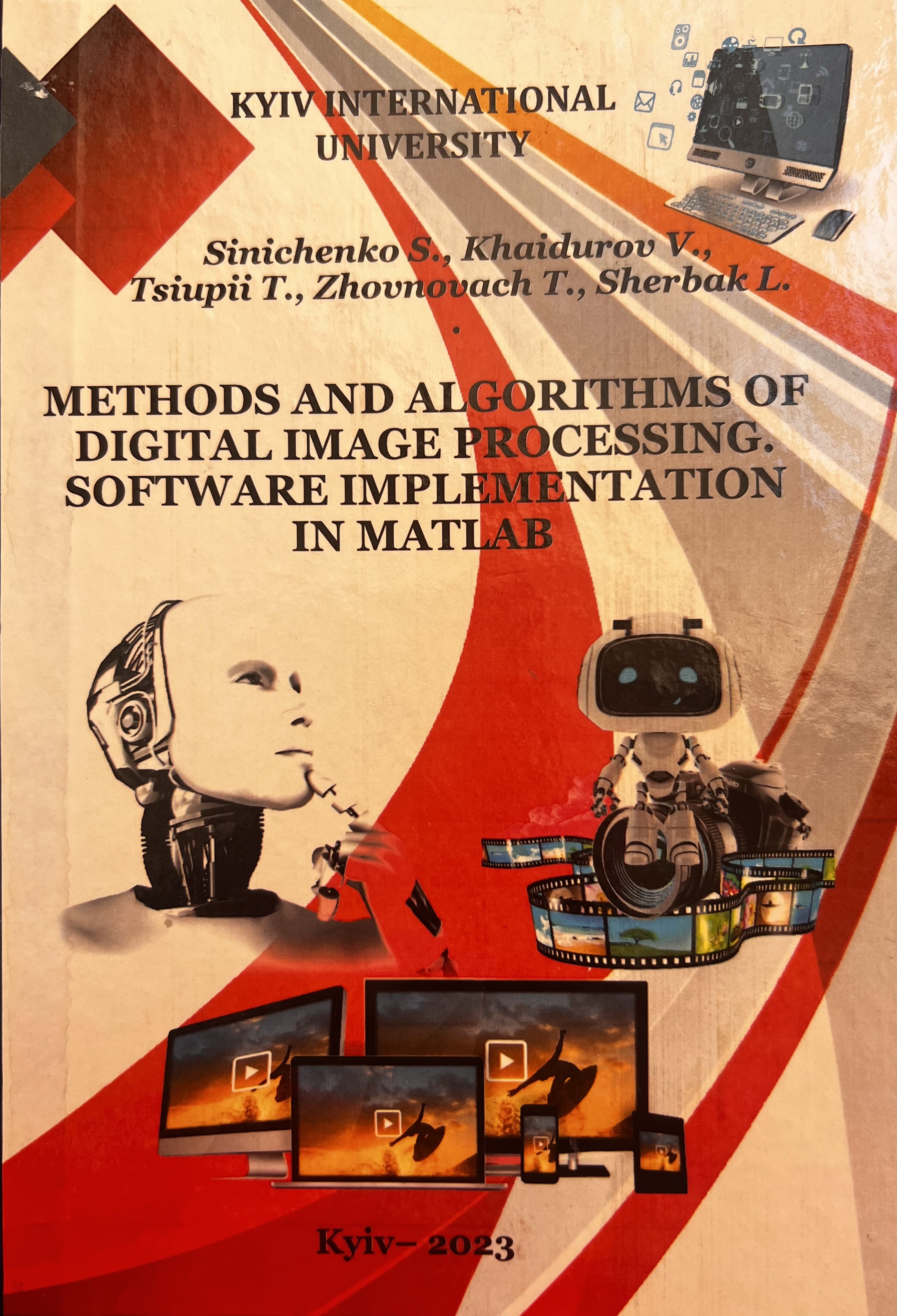
Methods and algorithms of digital image processing. Software implementation in Matlab: tutorial for students majoring in 121 – “Software Engineering”, 125 – “Cybersecurity”
Sinichenko S., Khaidurov V., Tsiupii T., Zhovnovach T., Sherbak L.
Kyiv International University, 2023, 292 p.
ISBN 978-617-651-232-5
The textbook contains methods and algorithms for digital image processing used to highlight the contours of graphic elements in images, methods of interpolating images using numerical interpolation methods, methods of modem digital image processing in various applications based on tl1e equations of mathematical physics and graphic processing methods real-time with elements of machine learning. The guide pгovides steganographic digital image processing techniques that are widely used іn the protection of graphics, sach as copyright objects.
The appendices of the manual contain the mаіn software implementations of methods and algorithms in the MATLAB application software package, which are used in practice, as well as the results of experiments of the cosidered problems.
Тhе textbook is intended for students majoring іn Computer Science and lnformatioп Тесhnоlоgу, graduate students of technical specialties, teachers аnd researchers involved in digital graphics processing.
Download content here>>>
 Моніторинг досягнення цілей сталого розвитку України за супутниковими даними
Н.М. Куссуль, О.П. Федоров, А.Ю. Шелестов.
К.: “Наукова думка” – 2023. – 164 с.
DOI: https://doi.org/10.15407/978-966-00-1865-5
ISBN: 978-966-00-1865-5
У монографії розглянуті результати розроблення та впровадження українськими вченими інформаційних технологій та сервісів оцінювання індикаторів сталого розвитку на основі використання супутникових даних спостереження за Землею. Робота спрямована на вирішення актуальних соціально-економічних проблем, зокрема, досягнення сформульованих ООН цілей сталого розвитку, моніторинг глобальних кліматичних змін, катастрофічних подій. Запропоновано методологію визначення індикаторів сталого розвитку, інформаційні технології їх обчислення на основі супутникових даних та продуктів їх обробки з використанням сучасних хмарних технологій. Зокрема йдеться про впровадження в Україні ідеології створюваної міжнародної системи систем спостереження Землі GEOSS та європейської програми Copernicus. Набутий досвід дозволяє запропонувати ідеологію українського сегменту GEOSS – інформаційної системи UkrGEO, яка передбачає інтеграцію та експлуатацію багатьох нових наборів супутникових даних, а також істотної модернізації національних статистичних і геопросторових систем в контексті цифровізації економіки та індустрії 4.0.
Для фахівців в галузі космічних інформаційних технологій, супутникових спостережень за Землею, геоінформаційних систем, екологічної безпеки, сталого розвитку, а також аспірантів та студентів відповідних спеціалізацій вишів.
2022
 Chapter. Cloud-Based Technologies for Data Processing in Ukraine: International Context
Andrii Shelestov, Bohdan Yailymov, Hanna Yailymova, Svitlana Nosok, Oleh Piven.
Ilchenko, M., Uryvsky, L., Globa, L. (eds) Progress in Advanced Information and Communication Technology and Systems. MCiT 2021. Lecture Notes in Networks and Systems, vol 548. Springer, Cham. pp. 101–118
DOI: 10.1007/978-3-031-16368-5_5
During last time we have faced with big data problem in Earth observation domain. Fortunately, cloud solutions such as Amazon Web Services, Google Earth Engine and others platforms provide an access to Sentinel-1, Sentinel-2 and Landsat data with spatial resolution from 10 to 30 m, opportunities for quick and convenient way of geospatial data processing and usage for a lot of different information products retrieval like land cover classification maps, crop state monitoring etc. During last few years we had experience of cloud-based technologies usage within scientific and innovation projects, which are supported by European Commission, World Bank, United Nations Development Program, GEO Committee and have experience of open-source software development and machine (deep) learning usage in cloud environment, namely Open Data Cube. This package provides the opportunities for data collection, deployment and provision on the base of 3D model of data representation. The developed technologies are implemented on diverse cloud platforms and solve various types of applied problems, in particular, monitoring of agricultural lands, assessment of sustainable development indicators at the national level. All of these questions will be described in our chapter in more detail.
 Chapter. Mathematical Models and Informational Technologies of Crop Yield Forecasting in Cloud Environment
Leonid Shumilo, Sofia Drozd, Nataliia Kussul, Andrii Shelestov, Sergiy Sylantyev
Ilchenko, M., Uryvsky, L., Globa, L. (eds) Progress in Advanced Information and Communication Technology and Systems. MCiT 2021. Lecture Notes in Networks and Systems, vol 548. Springer, Cham. pp. 143–164.
DOI: 10.1007/978-3-031-16368-5_7
The agricultural sector plays a very important role in the country’s economy. Often, crop failures are the cause of protracted financial crises, which are very difficult to overcome. Fortunately, modern scientific methods allow us to predict the yield of certain crops in selected fields based on data on soil properties and weather conditions. Such study requires high-resolution data, the downloading and processing of which requires the involvement of powerful cloud infrastructures, graphics processors and other technological solutions. Involvement of these technologies and reliable forecasting of yield help to make the right decision about sowing and avoid crop failure. However, collecting data on soil properties directly from agronomists and local farmers is a very long and hard process. In addition, the data collected may be inaccurate and expensive. As a result, a process will be launched that will eventually lead to an agrarian and financial crisis. However, a solution to this problem has already been found. Remote sensing data together with biophysical models has long been used in the world. In this section the state-of-the-art and current results in this area have been done.
2020
 Chapter 18. Measurement Techniques. In Agroclimatology (eds J.L. Hatfield, M.V. Sivakumar and J.H. Prueger): Linking Agriculture to Climate
Howard, A., Chipanshi, A., Davidson, A., Desjardins, R., Kolotii, A., Kussul, N., McNairn, H., Skakun, S. and Shelestov, A.
2020. – Vol. 60. – P. 489-517
DOI: 10.2134/agronmonogr60.
Major themes of the book include: principles of energy exchange and climatology, understanding climate change and agriculture, linkages of specific biological systems to climatology, the context of pests and diseases, methods of agroclimatology, and the application of agroclimatic principles to problem-solving in agriculture.
Chapter 18 aims to identify key state of the art operational or near‐operational techniques and discusses them at scales that are relevant to agricultural production. It covers soil moisture measurement techniques that are available over a range of scales. Soil moisture is a key variable for crop productivity, crop management practices, flood and excess moisture risk, and is a controlling factor in greenhouse gas emissions from farming operations. Crop condition and drought monitoring techniques have been used as early warning for production and food security issues. Quantification of drought severity was originally based on meteorological and/or hydrological data. The chapter presents two case studies that apply the concepts and techniques toward measurement of the elements. The case studies presented are crop condition assessment in the Ukraine and the carbon footprint of beef in Canada.
2019
 Методи глибинного навчання для геопросторового аналізу та задач спостереження Землі
Шелестов А. Ю., Лавренюк М. С., Яйлимов Б. Я., Ткаченко О. М.
К.: “Наукова думка” – 2019. – 228 с.
Книгу присвячено розробці методів геопросторового аналізу та розвязанню задач спостереження Землі, зокрема, класифікації земного покриву. Ці методи базуються на використанні інтелектуальних підходів до обробки геопросторових даних великого об’єму, таких як глибинне навчання.
2018
 Despeckling of Multitemporal Sentinel SAR Images and Its Impact on Agricultural Area Classification
Vladimir Lukin, Oleksii Rubel, Ruslan Kozhemiakin, Sergey Abramov, Andrii Shelestov, Mykola Lavreniuk, Mykola Meretsky, Benoit Vozel and Kacem Chehdi
In Recent Advances and Applications in Remote Sensing. IntechOpen (Chapter 2). – 2018. – P. 21-40.
This chapter addresses an important practical task of classification of multichannel remote sensing data with application to multitemporal dual-polarization Sentinel radar images acquired for agricultural regions in Ukraine. We first consider characteristics of dual-polarization Sentinel radar images and discuss what kind of filters can be applied to such data. Several examples of denoising are presented with analysis of what properties of filters are desired and what can be provided in practice. It is also demonstrated that the use of preliminary denoising produces improvement of classification accuracy where despeckling that is more efficient in terms of standard filtering criteria results in better classification.
